Wutai Shan
Five flat-topped summits on a single massif, the highest ground in north China, and two Tang wooden halls — 782 and 857 — that rewrote the history of Chinese architecture.
 Start your enquiry
Destinations / Shanxi
A plateau province between two mountain walls — the Taihang on the east, the Lüliang on the west — with the Fen River running down the middle through a string of basins. Eighty per cent of it is mountain and hill, and the highest ground is 3,061 metres.
Explore the guide ↓North China · the loess plateau
Shanxi is a parallelogram tilted from north-east to south-west, 682 kilometres long and 385 wide, and its shape is its history. The Taihang forms the eastern wall, dropping 1,500 metres to the north China plain in a single escarpment. The Lüliang forms the western one, a broad upland of loess ridges and ravines. Between them the Fen runs south for 713 kilometres through a chain of fault basins — Datong, Xinzhou, Taiyuan, Linfen, Yuncheng — each one a strip of flat farmland with mountains on both sides.
Eighty per cent of the province is mountain, hill or plateau, and most of it wears a cover of loess: wind-blown silt, tens of metres deep in places, that holds a vertical face when cut and made cave dwellings practical. The province is also the watershed between two river systems. Sixty-two per cent of it drains to the Yellow River, thirty-eight to the Hai. The Yellow itself runs along the western and southern borders for 695 kilometres, in a gorge that averages over a hundred metres deep.
For a traveller the consequence is that Shanxi is not a place you cross quickly. It is a corridor with four distinct bands: the Buddhist mountains and the northern pass country at the top, the basin cities and their temples in the middle, the Taihang gorges on the eastern edge, and the Yellow River gorge on the west. This guide treats those bands as the route.
The Buddhist peaks, the grottoes, the walled city, the gorges and the river.
Five flat-topped summits on a single massif, the highest ground in north China, and two Tang wooden halls — 782 and 857 — that rewrote the history of Chinese architecture.
The Yungang caves: 45 major grottoes and 51,000 carved figures in sandstone, cut for the Northern Wei court, with a temple bolted to a cliff forty kilometres south.
The oldest and tallest all-timber pagoda in the world: nine internal storeys, 59 kinds of bracket, and not one iron nail in the whole structure.
A county town that closed its gates in 1370 and barely changed: 6.2 kilometres of brick wall, 72 watchtowers, and the courtyard house where Chinese banking started.
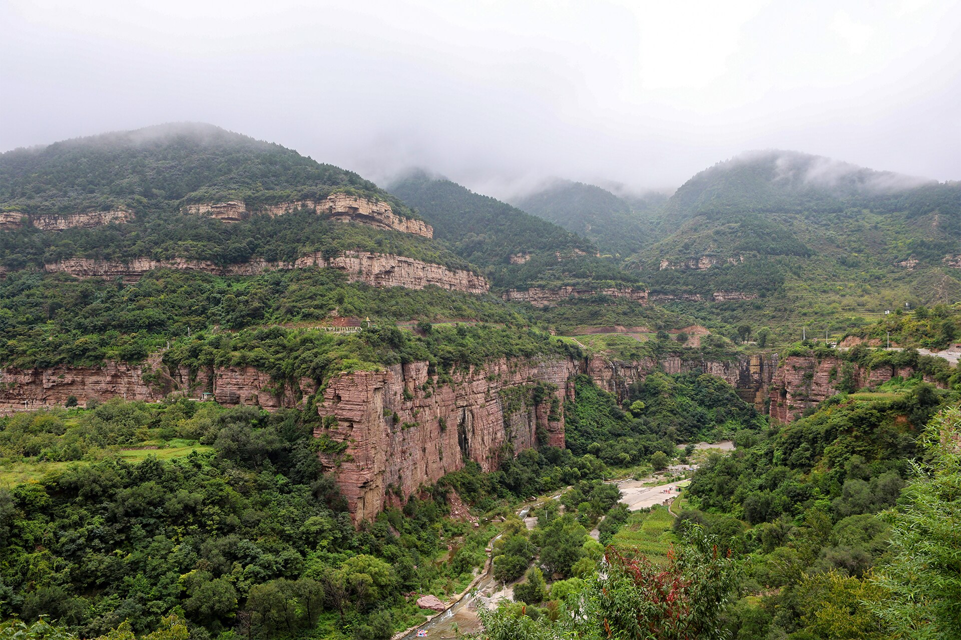
The eastern escarpment, where villages cut their own roads through the cliff: 7.5 kilometres of tunnel at Xiyagou, dug by hand over thirty years.
A temple at the source of the Jin springs, with a Song hall on a stone platform, a cross-shaped bridge over a fish pond, and 43 painted clay attendants from the eleventh century.
The reach where the river runs between Shanxi and Shaanxi, and where the Great Wall meets it at Laoniuwan, above a Ming fort of 1467.
The northern end of the Lüliang: spruce forest, a subalpine meadow, an ice cave that keeps its ice through summer, and the spring that starts the Fen.
The pass on the road from Taiyuan to the steppe, rebuilt in 1374, with 5,033 metres of Ming wall running out along the ridge beside it.
From the Yellow River beach at 180 metres to the north peak of Wutai at 3,061, and what each band does to a walking day.
No fixed departure yet. These are the shapes we build in Shanxi.
The Buddhist north, the Datong and wall loop, the basin cities, the Taihang traverse and the river road, with days and seasons on one page.
The wider index of walking and temple routes, for comparing Shanxi against Hebei and Shaanxi.
Why the first week of October and the first week of May change every plan in this province.
The reference pages for this province.
The five basins, the two escarpments and the one summit above 3,000 metres, band by band.
A cold dry north, a hot basin summer, a short autumn, and the two weeks when the whole province is at its best.
The things that move: Wutai snow, the Yungang crowds, the Fen flow and the colour on the Lüliang.
Two windows, and a north that runs a month behind the south.
The best spring window in the basins: 12 to 24 degrees, blossom on the loess terraces, and clear air before the summer haze. Wutai is still cold and the high passes can hold snow into April.
Hot in the basins — 32 to 36 degrees in Taiyuan and Linfen — with the rain arriving in July and August. The advantage is altitude: Wutai, Luya and the Taihang rim run 8 to 12 degrees cooler, and the gorges carry water.
The clear window, and the best month in the province. Air dries out, the loess turns pale gold, the poplars go yellow in the last week of October, and the light on the Yungang sandstone is at its best.
Cold and very dry. Minus 10 to minus 18 in Datong, around zero in Yuncheng, with coal-season haze in December and January. The monuments are empty; some high roads close and Wutai’s north terrace is usually shut.
What changes from year to year in Shanxi.
Wutai snow line, Yungang visitor caps, the Fen and Yellow River levels, and the autumn colour on the Lüliang, on one board.
Why the cave at Ningwu keeps its ice in July and what the shoulder seasons do to the access road.
Land in Taiyuan, take the basin cities first, then choose a direction: north to Wutai and the Yungang caves, or east into the Taihang gorges, or west to the Yellow River. Five days is a band; two weeks is the province.
Start my journey brief ↗