The basin core · 3 days
The easiest introduction: Jinci and the Taiyuan museums, Pingyao for two nights, Shuanglin Si on the way out. No mountain driving, all high-speed rail.
 Start your enquiry
Destinations / Shanxi / Routes
Six shapes, from three days to twelve, built around the fact that the province is a corridor: everything runs north–south, and the choices are how far north, how far south, and whether you take the river or the mountains.
Explore the guide ↓Reference · route shapes
Shanxi’s geography forces a linear plan. The basins run north to south along the Fen, the mountains are on both sides, and the two great set pieces — the Yungang caves at the north end and the Yellow River gorge at the west — are at opposite corners. Almost every sensible route is a line with one or two detours, entered from Taiyuan or Datong and left at the other end.
The six shapes below cover the range. They are not fixed departures; they are the skeletons we build a route on, and they can be combined or cut. Days assume a car and driver, which is the only practical way to reach half of these places.
What each one is for.
The easiest introduction: Jinci and the Taiyuan museums, Pingyao for two nights, Shuanglin Si on the way out. No mountain driving, all high-speed rail.
Taiyuan to Wutai for two nights, the two Tang halls on the way in, Yingxian at midday, Datong for the caves and the hanging temple. The single best four days in the province.
Datong, the Yungang caves, south over Yanmen Pass with the Baicaokou wall, then east to Wutai. Adds the wall and the pass to the Buddhist north.
The eastern escarpment: the gorge chain at Huguan, the quieter gorges at Pingshun, the cliff road at Xiyagou. Landscape rather than monuments.
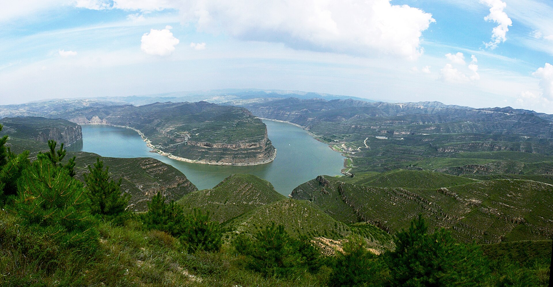
Six hundred kilometres down the west border: the wall meeting the water, the Ming port at Qikou, the cliff villages, and the falls at the end.
Datong, Wutai, Taiyuan, Pingyao, the Taihang, and the river road, in one line. The complete province, at a pace that allows two nights in most places.
Three questions.
Under four days: the basin core or the Buddhist north, not both. Five to seven: add the frontier loop or the river road. Ten or more: the full crossing, which is the only shape that includes the Taihang and the river in one trip.
The north and the centre are buildings — caves, temples, walled towns. The Taihang and the river road are landscape with villages. Most people want both, which is why the full crossing exists.
April to June and September to October work for every shape. July and August push you to the mountains and the river. November to March limits you to the basin cities and the caves.
Four days: Wutai, Yingxian, Datong. Seven: add Yanmen and the Taihang. Twelve: the full crossing from the Yungang caves to the Hukou falls.
Start my journey brief ↗