
East China
Destinations / East China
Anhui.
The most painted mountain in China, a network of thousand-year-old stone roads, and villages that salt merchants built and came home to. All of it inside a day’s drive of Tunxi.
1,864 m on Lotus Peak, and 1,500 km of paved stone road below it — the two numbers that explain Anhui
01 / Read the province
One province, two halves.
Anhui is split by the Yangtze. North of the river is the Huai plain, flat and agricultural; south of it the land buckles into the granite ranges of 皖南, which until 1987 was a prefecture called Huizhou. Almost everything worth travelling for is in that southern third.
- 01
Huangshan
The mountain · 1,864 m
- 02
Huizhou
The villages · UNESCO 2000
- 03
The stone roads
77 trails · 730 km
- 04
Jiuhua
The Buddhist mountain
- 05
Tianzhu
The old Southern Peak
- 06
The tea country
Three famous teas
The mountain and the villages are an hour apart and belong to the same trip; the peak season sends coaches to one and not the other, which is the single most useful thing to know. Jiuhua and Tianzhu sit north and west of the range and work as separate days. The tea hills are the quiet fourth thing, and April is when they are working.
What to see where ↓02 / Choose a landscape
Three Anhui, not one.
The granite summit network, the merchant villages below it, and the paved roads that connect them. Each is a different pace, and none of them is a hike in the sense the word usually carries.
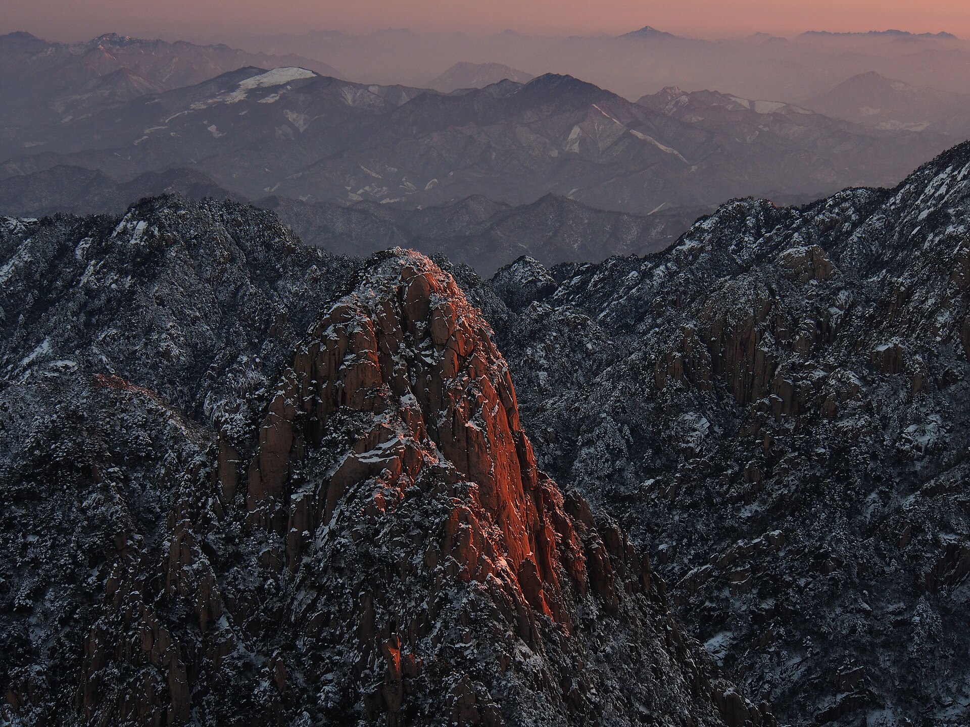
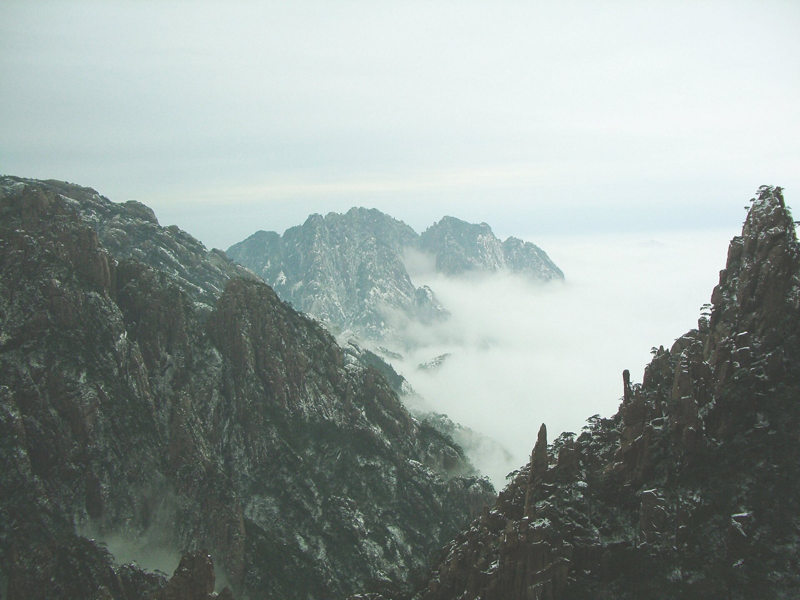
The mountain
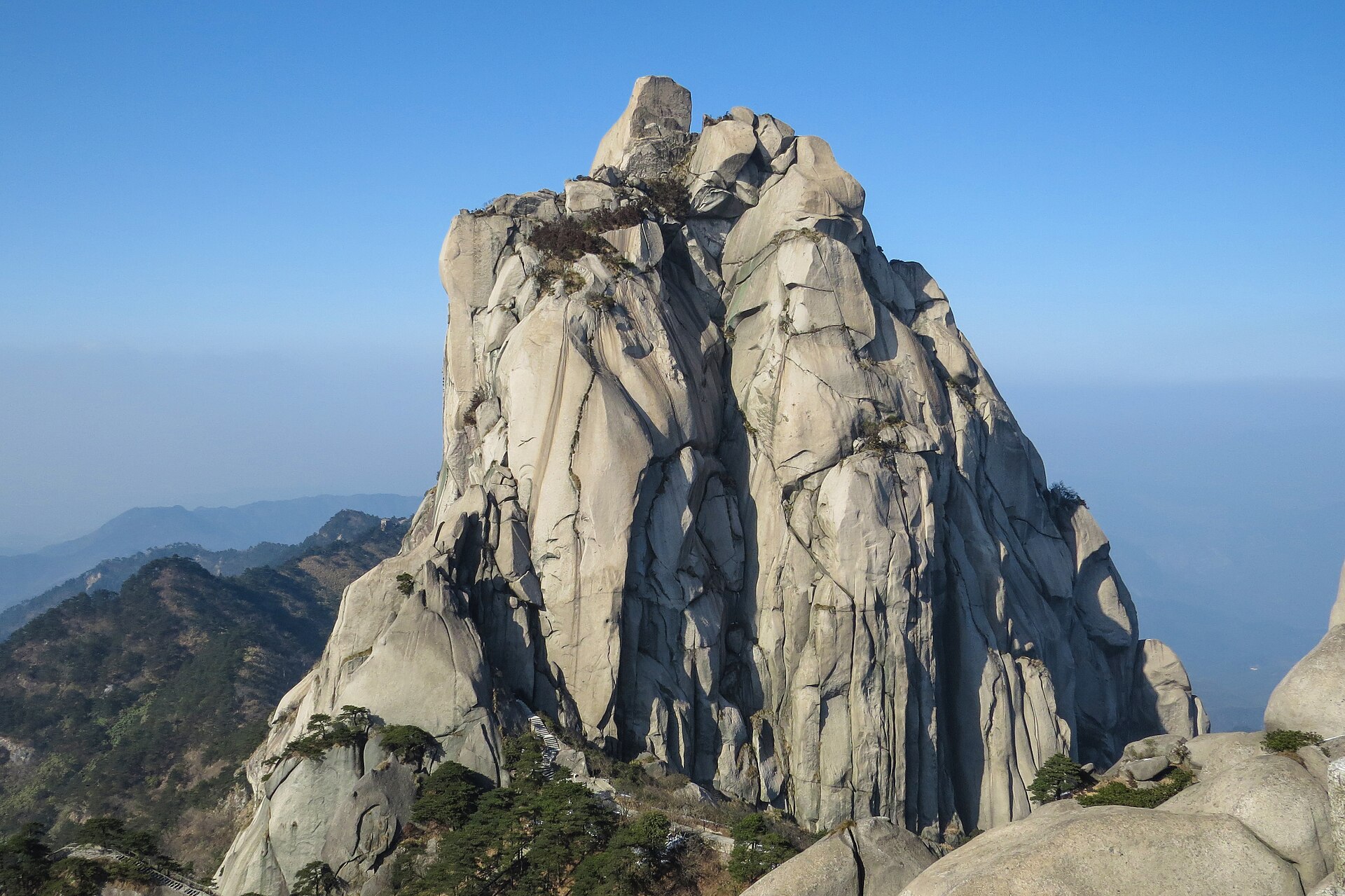
Seventy-two named peaks, 88 summits above a thousand metres, and a summit network with no road at all. Two cable cars, thousands of steps, and a sea of cloud that behaves like weather because it is.
Up the granite towers ↗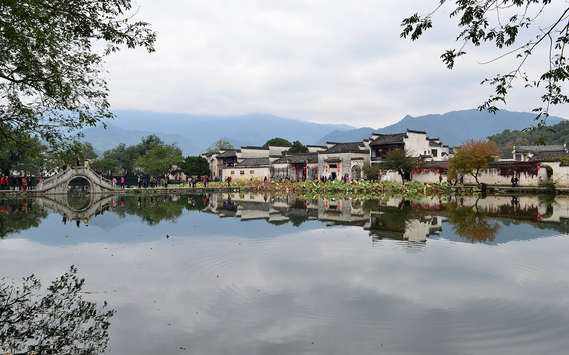
The villages
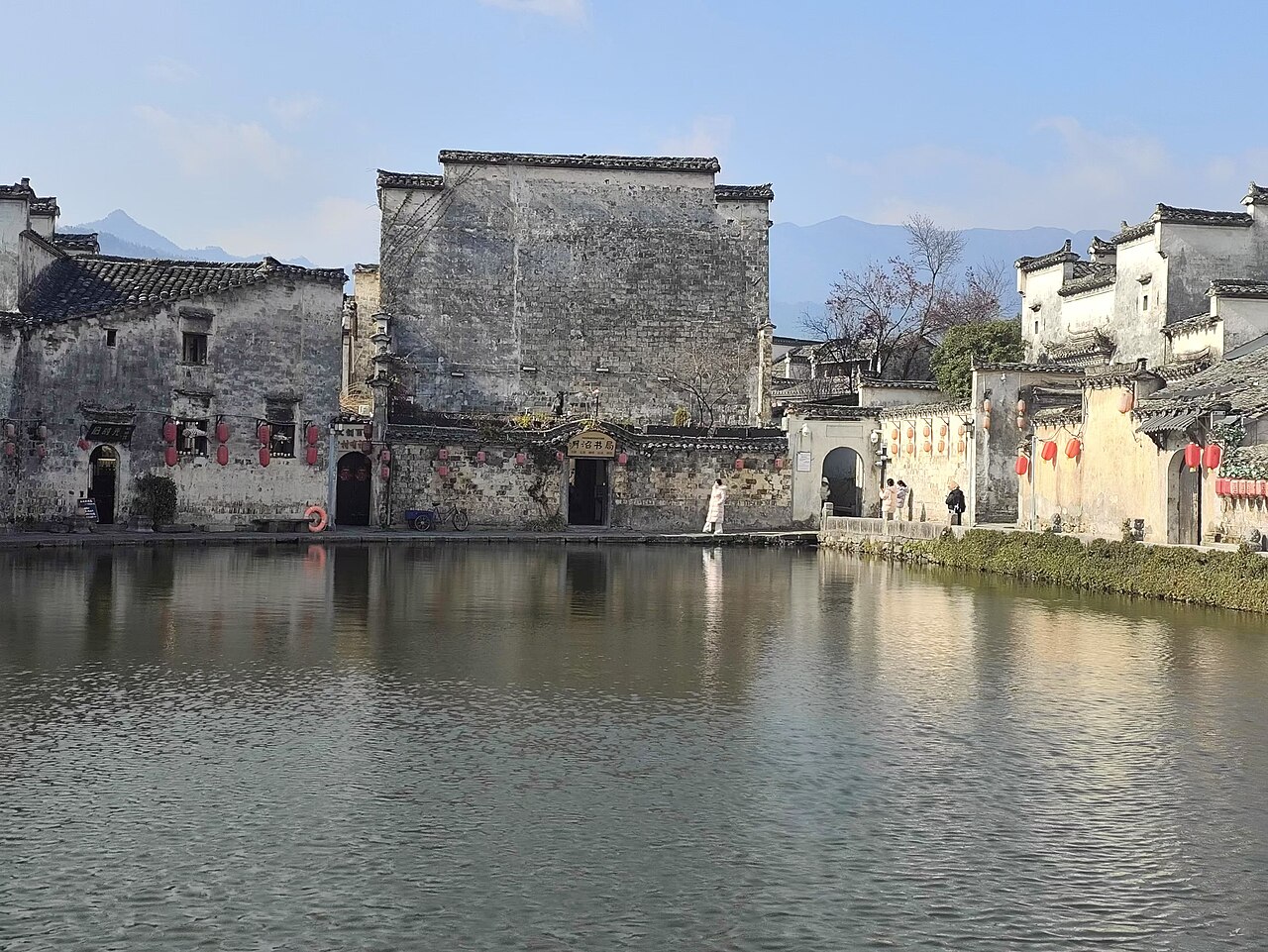
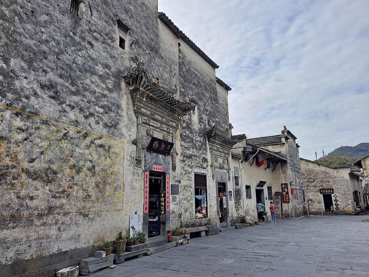
Hongcun, Xidi, Chengkan and a dozen smaller places, laid out around water channels and paid for by salt. Two are World Heritage; the rest are inhabited, which is the better reason to walk them.
Into the merchant country ↗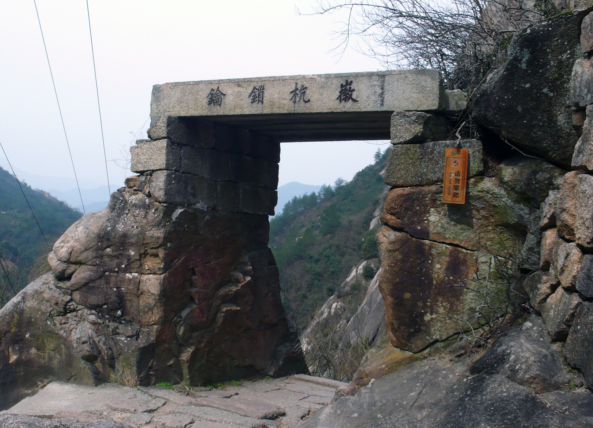
The stone roads
Seventy-seven catalogued trails and some 730 kilometres of paving in one municipality. They connect villages rather than summits, they end at a bed and a kitchen, and the difficulty is the stone rather than the gradient.
Onto the old roads ↗03 / Pick your month
Two good windows and a wet summer.
Anhui’s year is defined by the rains from mid-June to August, the clear weeks of October, and a winter that is colder and better than its reputation — the season when the mountain looks most like the paintings.
Open month Cold, closed or limited Best window
March – May · Rapeseed and the first flush
The best all-round window. Rapeseed in the fields between the villages in March, tea picking from late March, dry stone on the old roads in May, and temperatures that make the stairways pleasant.
June – August · The rains
Wet, warm and crowded. The stone roads turn slick, the mountain is often inside the cloud rather than above it, and the villages fill with domestic coach traffic in July and August.
December – February · Rime and cloud
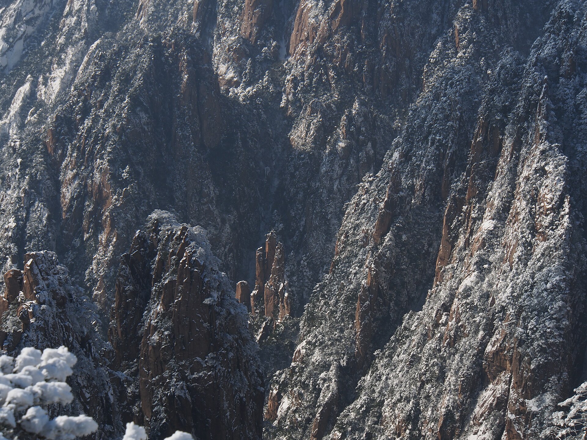
The season the mountain was painted in. Snow on the granite, rime on the pines, and the highest probability of the cloud sea, with empty stairways and short days.
04 / Stay curious
Painters and merchants.
The same landscape produced a school of painting and a merchant class, and neither is a coincidence. The mountain gave the image; the trade paid for everything below it.
- 01
The mountain
Granite towers with pines growing sideways out of them, above a valley that fills with cloud. From the seventeenth century the Huangshan school — Shitao, Mei Qing, Hongren — built a visual language out of this, and the landscape turned out to be accurate.
- 02
The villages
Huizhou had more sons than farmland, so its men left to trade in salt, tea and pawn, and sent the money home as architecture: white walls, dark tiles, horse-head gables and carved halls laid out around water channels.
- 03
The roads
Every one of those villages needed to be reached. The result is a network of paved stone roads between them — 77 catalogued in one municipality, 196 across the province — still walkable, mostly unmanaged, and slick as glass in rain.
05 / Go deeper
One fixed route, four walking products.
Anhui is small enough that the mountain and the villages belong to one trip. The five-day walk is the route this guide is built around: the mountain first while legs are fresh, then three days in the villages below.
The stone roads are a separate product with their own logic — under 20 kilometres a day, village beds at both ends, and no summit involved. Most travellers do one or the other; the best itineraries do both, in that order.
06 / Before you go
The useful details.
Anhui is the easiest mountain province on this site to move around in, and the easiest one to get the timing wrong in.
One base, short drives
Tunxi has the airport, the high-speed station, the old street and the best restaurants. The mountain gate is 40 minutes away, Hongcun an hour, Xidi 20 minutes past it. Nothing in this guide is more than two hours from Tunxi except Qimen.
Altitude is not the issue
Lotus Peak is 1,864 metres and the villages are below 500. Nobody acclimatises for Anhui. What replaces altitude is 1,500 metres of stairs in a day, and stone that is slippery when wet and worse when it thaws.
Time the villages, not the route
Coaches run from 09:30 to 15:30. Before nine and after four the same lanes are quiet, working places. This single piece of timing is worth more than any choice of itinerary.
Keep exploring
Go one layer deeper.
07 / Common questions
The questions that come up first.
What travellers ask before an Anhui route takes shape.
01How many days does Anhui need?
Five for the mountain and the villages done properly, which is the fixed route. Three if you only want the mountain, or four if you only want the villages and the roads. Add two for Jiuhua or Tianzhu.
02Huangshan or the villages first?
The mountain first, while legs are fresh and the weather window is longest, then the villages, which want the opposite pace. Doing it the other way round is the most common mistake.
03Do I need to be fit?
For the villages, no: they are flat and walked at two to four kilometres an hour. For Huangshan, yes, in the sense that a day is 1,500 metres of ascent and the same of descent on steps. Knees decide more than lungs.
04Is the winter worth it?
Yes — it is the best season for the mountain, with rime, snow and the cloud sea, and the villages are empty. It is also genuinely cold at the summit and some upper paths close in snow.
05Which villages, if only two?
Hongcun and Xidi, because they are the World Heritage pair and 20 minutes apart. If you have a third day, Chengkan is better than either of them for architecture and has a fraction of the visitors.
06Can I walk between the villages?
Yes. Field paths connect Hongcun to Lucun and Tagawa, and the villages around Shexian are close enough to link on foot. The lanes are flat; the distances are two to six kilometres.
07When are the crowds worst?
The first week of May, the first week of October and the Spring Festival week. Outside those, even October is manageable if you start early and sleep in the villages rather than the towns.
08Is Anhui a hiking province or a culture province?
Both, and they are the same landscape. The stone roads were built to connect the villages the merchants paid for, and the mountain the merchants painted is the one you climb.
Something not covered here? See how a private route is put together ↗ or send us your question ↗
Your Anhui.
Tell us whether the mountain or the villages matter more, and how many days you can walk. Those two answers pick the route, and the route is the whole decision.
Start my journey brief