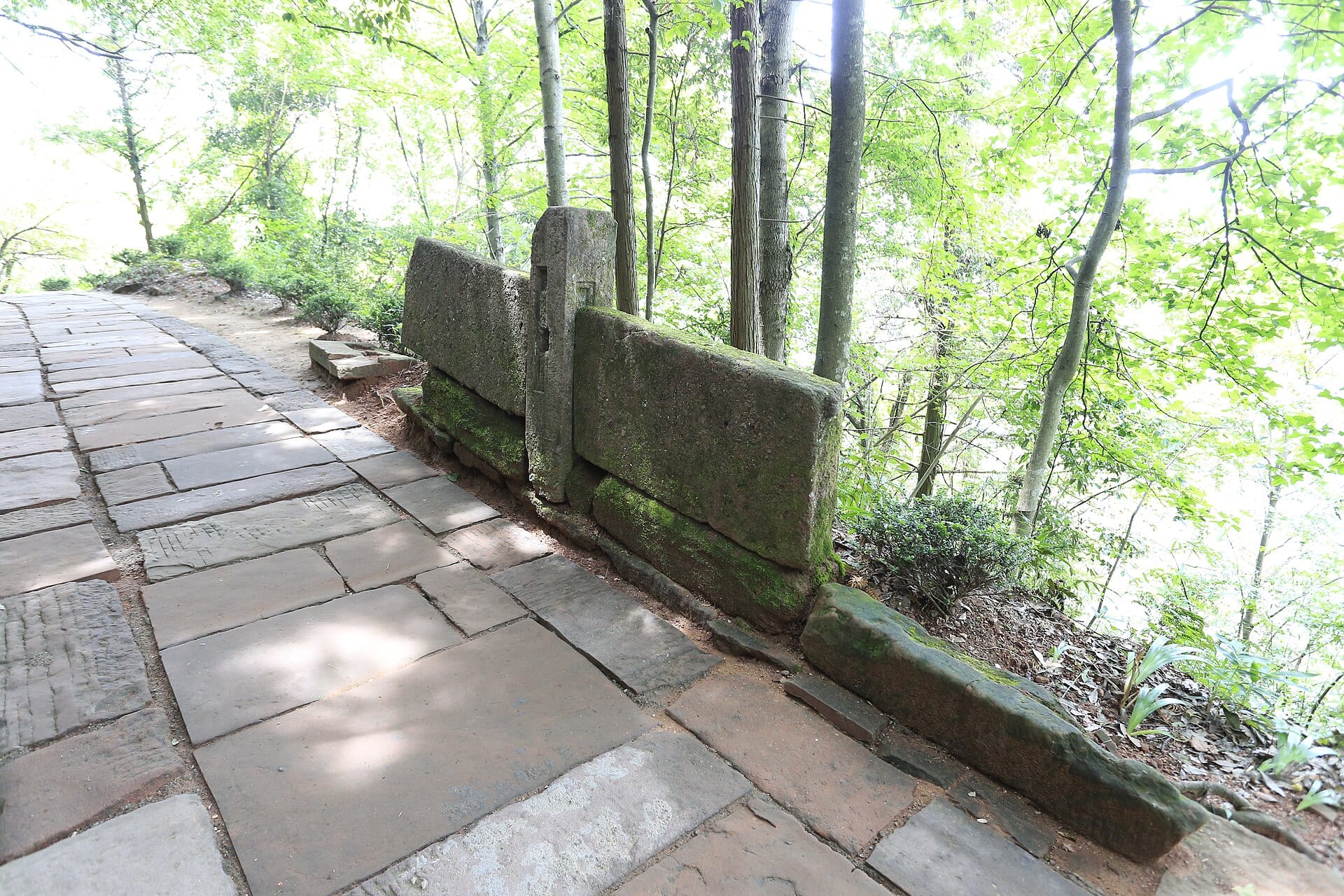
One prefecture, seven hundred kilometres of cut stone.
Huizhou was an administrative region for roughly a thousand years and has not been one since 1987, when the area was reorganised around Huangshan. The name survives in the architecture, the cooking and the dialect. It also survives, more literally, in the ground: a survey by Huangshan municipality catalogued 77 historic trails within its boundaries, together with some 730 kilometres of paved road.
At provincial level the count is larger still. Anhui’s cultural trail programme lists 196 surviving routes totalling more than 1,500 kilometres, and has been running guided walks along a shortlist of six since 2025. What makes this unusual is not the number but the pattern: almost every one of these roads connects villages rather than summits, and the villages are still inhabited.
Two things follow from that. First, a day on these roads ends at a bed and a kitchen, not at a tent. Second, the walking is mostly under 20 kilometres with modest altitude — the difficulty is the stone itself, which is uneven, polished by centuries of feet and slick in rain. This is not expedition terrain. It is a way of moving through a working landscape.
The five roads.
Each of these is described in full on its own page. What follows is the shape of the network: where each road starts, what it crosses and how long it takes.
Hui–Hang Trail
20 km · two days · the famous oneFrom Jixi county in Anhui over the ridge into Zhejiang. The route passes the Jiangnan First Pass — some 1,400 stone steps rising to about 424 m — before the long climb to Lantian’ao at 1,050 m, the high point of the walk. Graded 4A in 2011 and listed as a national heritage site in 2013. The busiest of the five, and the only one with an entrance fee.
Zheling Trail
20 km · one long day or two half daysAlso called the Jingxi, Huining or Suitang road. Cut in the late Sui by the local leader Wang Hua, it linked the Huizhou prefecture seat with the Ningguo prefecture to the north-east. It runs from Gaojia in Jinde county through the Tianxing cave and over the Zheling pass at 998 m, where a Qing gate still carries the words “the pass opens again.” Free to walk, and far quieter than the Hui–Hang.
Huizhou–Raozhou Trail
10–12 km · half day · the border walkThe Zheling section of the old merchants’ road to Jiangxi. It begins at the Lü’an bridge in Zhangqian, Xiuning, climbs through eighteen switchbacks, and crosses the Wu–Chu boundary stone before dropping to Lingjiao village in Wuyuan. The paved surface here is wider than most — around 1.5 to 2 m — because this was a commercial artery, not a footpath.
Huizhou–Kaihua Trail
10 km · half day · the remote oneLaid out in the late Ming and early Qing as the route from Huizhou toward Kaihua in Zhejiang. It runs from Lingdi, in Xiuning’s Yucun township, to Baiji — a township that was without a sealed road for decades and is still described locally as the last isolated corner of southern Anhui. Old tea trees and terraces line the way.
Dahongling Trail
7.5 km · three hours · the official oneIn Qimen county, from Yanwo to Yakeng, climbing about 533 m to a 773 m pass. This was the road from Huizhou to Anqing — the provincial capital in the Qing — and the stone tablet at the top still reads “the highway to the capital.” Designated a provincial heritage site in 2012. Twelve Qing stelae survive at the ruined pavilion on the ridge.
Five days, east to west.
This is one continuous line rather than five separate trips. It runs with the geography — Jixi in the east, then Shexian, Xiuning and finally Qimen in the west — so the transfers shorten as you go. Every night is a guesthouse or a small hotel.
- DAY 1
Hui–Hang, lower half
Start at Jiangnan village below the pass, climb the 1,400 steps of Jiangnan First Pass, then follow the old paving through Huangmaopei to Xiaxuetang. Sleep on the mountain, either at Xiaxuetang or higher at Lantian’ao.
+900 m total - DAY 2
Hui–Hang, descent, then west
A short morning to the high point at 1,050 m, then down the Zhejiang side to Yonglai village. Collect a car and transfer to Shexian; the afternoon is free in Xucun, the village at the eastern end of the Zheling road.
mostly downhill - DAY 3
Zheling, east half
Walk up from Maoshe near Xucun to the pass at 998 m and back, or continue over and down toward Chatan. The 1,400-year-old paving is at its best on this section. Evening in Xucun or back in Shexian.
+450 m - DAY 4
Huizhou–Raozhou
Transfer west to Zhangqian in Xiuning. From the L’an bridge the road climbs eighteen switchbacks to the Wu–Chu boundary stone, then descends into Lingjiao in Wuyuan. Finish at Hongguan and its thousand-year camphor.
+600 m - DAY 5
Dahongling
A long morning transfer to Yanwo in Qimen, then the shortest walk of the week: 7.5 km and 533 m of ascent to the ridge pavilion and down to Yakeng. Ends within reach of Jingdezhen or a return to Huangshan.
+533 m
With three days instead, drop the two western roads and walk the Hui–Hang over two days followed by the Zheling. That pairing gives you the busiest and the quietest of the five, which is the most useful comparison the region offers.
Know before you go.
Only one road charges
The Hui–Hang has a gate, a ticket and opening hours. The Zheling, Huizhou–Raozhou, Huizhou–Kaihua and Dahongling roads are open paths through farmland and forest with no entrance fee. That difference changes the planning: a ticket implies staff, signage and a closing time, while a free road implies you have checked the route yourself.
Prices and hours move
Published figures for the Hui–Hang differ between platforms and seasons — the gate price and the online price are not the same, and the Zhejiang entrance is sold as a combined ticket that costs considerably more. Treat any number as indicative and confirm at the gate or with your operator before committing to a date.
March and November
Rapeseed flowers the terraces around the villages from late March into early April, which is also when the trails are busiest with domestic walkers. November brings drying racks of persimmons and red leaves on the ridges. July and August are hot, humid and thundery; January can put ice on north-facing stone, which is the one condition that genuinely stops these walks.
The stone is the difficulty
Total ascent on any single day here rarely exceeds 900 m, but the surface is uneven, cambered and often wet. Shoes with a soft, grippy sole matter more than boots. Poles help on the endless short descents. Carry cash: some village shops and shuttle drivers still do not take a phone.
Your questions, answered.
Can these be walked without a guide?
The Hui–Hang and Dahongling are straightforward to follow and waymarked. The Zheling and the two western roads are less consistently signed where they pass through villages and farmland, and a local guide is worth having for the navigation and for the access conversations.
How do I move between the five?
They sit in four different counties and one crosses into Jiangxi. Public buses reach the towns, but not the trailheads at the hours you need. A driver for the week is the practical answer, and it is also what makes the five-day line above work.
Are the villages part of the walking?
Yes, and deliberately. The water systems, the lanes and the halls are the reason these roads were built. Our village walks guide covers the three loops that stay at village level all day.
Is winter viable?
Often, yes — the Zheling in snow has become a local attraction. But ice on shaded stone is a real hazard and some village services close. Check conditions rather than assuming a mild winter.
References & photography.
Trail lengths, pass altitudes and heritage designations follow municipal and county government notices, the Anhui cultural trail programme, and the 2024–2026 reporting around it. Route choices and the five-day line are our planning suggestions, not fixed departures.
- Huangshan municipality trail survey: 77 routes, about 730 km.
- Anhui “Ancient Trails” programme: 196 routes, more than 1,500 km province-wide.
- Qimen County heritage register, Dahongling entry: 7.5 km, 773 m pass, provincial listing 2012.
- Photo: 三猎 · Hui-Hang suo yue · CC BY-SA 4.0. Resized by Wikimedia.