Huangshan
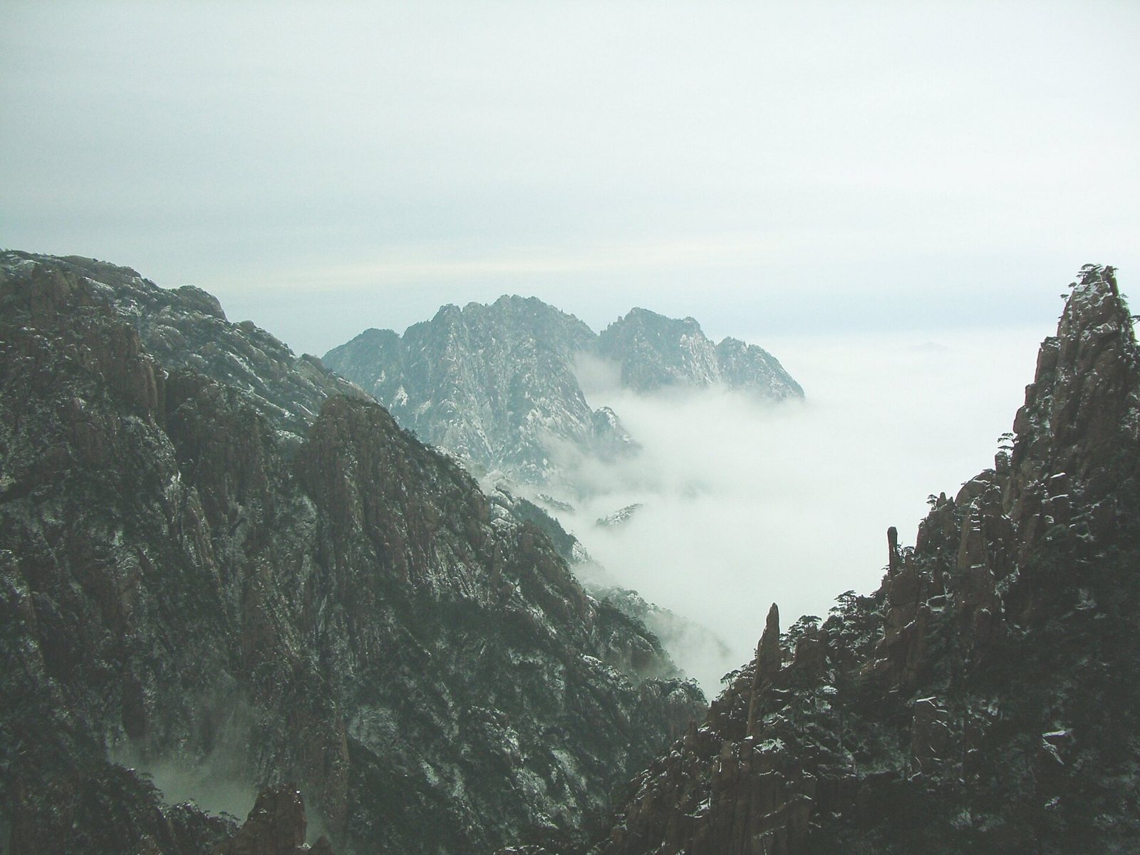
Seventy-two named peaks, a sea of cloud that fills the valleys most winter mornings, and a summit network you walk rather than drive. The reason people come.
 Start your enquiry
Destinations / Anhui
The most painted mountain in China, a network of a thousand-year-old stone roads, and villages that salt merchants built and then came home to. All of it inside a day’s drive of Tunxi.
Explore the guide ↓East China · between the Yangtze and the Qiantang
Anhui is split by the Yangtze. North of the river is the Huai plain, flat, agricultural and largely bypassed by travellers. South of it the land buckles into the mountains of 皖南 — the southern third of the province, which until 1987 was a prefecture called Huizhou, and which is where almost everything in this guide sits.
The mountains are granite, not limestone, which is why they look the way they do: vertical towers rather than the rounded cones of Guangxi, furred with pines that grow sideways out of bare rock. Huangshan is the highest and the most famous at 1,864 metres. The same belt continues east into Jiuhua, one of the four Buddhist mountains of China, and south-west into Tianzhu, which was the Southern Peak of China for seven hundred years before the title moved to Hunan.
Below the peaks, the villages are the other half of the story. Huizhou merchants dominated the salt, tea and pawn trades for roughly four centuries, and brought the profits home as architecture: whitewashed walls, dark tiles, horse-head gables, carved timber and stone, and a water system laid out before the streets were. Two of those villages, Xidi and Hongcun, have been World Heritage since 2000. Between them runs a network of paved stone roads — 77 catalogued in Huangshan municipality alone, some 730 kilometres of paving, and 196 routes across the province.
The mountain, the villages, the roads, two more peaks and the tea hills.
Seventy-two named peaks, a sea of cloud that fills the valleys most winter mornings, and a summit network you walk rather than drive. The reason people come.
Hongcun, Xidi, Chengkan, Tangmo and a dozen smaller places, built around water channels and paid for by salt. Lanes, halls and courtyards, walked slowly.
The Hui–Hang road over the ridge into Zhejiang, and the unmanaged corridors that run between villages. Under 20 kilometres a day, on paving that is slick in rain.
The seat of Dizang, the bodhisattva of the underworld: 78 surviving monasteries, a town of pilgrims at 600 m and a granite ridge above it.
A single granite pillar above the ridges, worshipped by an emperor in 106 BC, with 400 rock carvings at its foot and a geopark around it.
Keemun, Huangshan maofeng and Taiping houkui all come from these hills. The gardens are landscapes in their own right, and the picking calendar is a travel calendar.
One fixed departure, and a set of shapes we build around it.
The five-day mountain-and-village walk, the trail-only versions, the tea season and the winter window, on one page.
Two days on the summit network, then three in the villages below, on foot. The route this guide is built around.
Where the Anhui walks sit among the site’s other cultural hiking routes.
What our team has written about the province.
Why the mountain and the villages are two different walking products, and why the descent should not be the end of the day.
Hongcun, Xidi, Chengkan, Tangmo and the field paths between them, with distances and timings.
The sea of clouds is a cold-season phenomenon. When it forms, and how to plan a stay rather than a stop.
What the paving, the drainage cuts and the boundary stones tell you about who built the road and when.
Two good windows, a wet June and a winter that is better than its reputation.
The best all-round window. Rapeseed in the villages in March, tea picking from late March to mid-April, and the mountain clear enough to walk without ice. May is the pick for the villages.
The wet season, and the hottest. The mountain is often in cloud, the stone roads are slick, and the villages are at their busiest with domestic coach traffic in July and August.
The clearest months on the peaks, and the best light of the year in the villages, with drying racks out and the camphor turning. October is the single best month.
Winter: rime on the pines, the sea of clouds at its most reliable, and empty stone roads. Cold at the summits, around −5 to −10 °C on a clear January morning.
The Anhui facts that move: cloud, rime and the tea flush.
The winter cloud window, the tea flush, the rainy weeks and the holiday crowds, on one board.
Why the sea of clouds and the rime are cold-season events, and how to time a stay around them.
Twelve months across the mountain, the villages and the tea hills.
Tell us whether you want the mountain, the villages or the roads between them — and how many days you can walk. Those two answers decide the route.
Start my journey brief ↗