Lhasa & the Yarlung
The Potala, the Jokhang and the Barkhor, plus the monasteries of the Yarlung valley and the first Buddhist monastery in Tibet.
 Start your enquiry
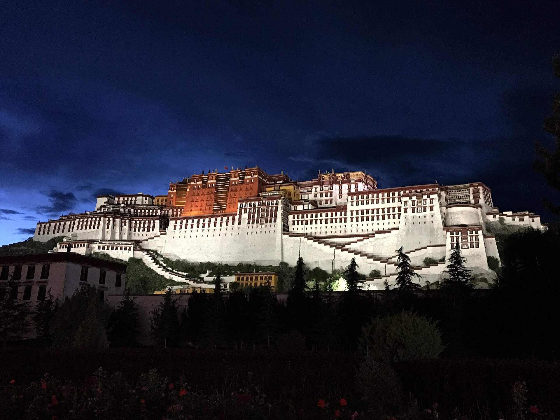
Destinations / Tibet
A plateau at 3,650 metres and up: one capital, one great lake road, one Himalayan frontier and a western desert with a sacred mountain in it.
Explore the guide ↓Tibet Autonomous Region · the plateau
Tibet is not one landscape. The Tibetan plateau averages more than 4,000 metres across an area the size of western Europe, and the parts that travellers reach are the edges of it: the Yarlung valley where Lhasa sits at 3,650 metres, the lake country to the north and west, the Himalayan frontier along the Nepali border, and the western desert of Ngari where the land is 4,500 metres and empty.
Two things make a route here different from anywhere else in China. The first is altitude: every night is above 3,500 metres, most are above 4,000, and the sequence of nights is the itinerary. The second is paperwork: foreign travellers cannot travel independently, entry is by permit arranged through a licensed agency, and some regions need a second and third permit on top. That is not a formality to be dealt with at the airport; it is the first decision in planning.
The reward is a set of places that have no equivalent: the Potala above the city, the Barkhor circuit at dawn, the turquoise of Yamdrok below a 4,700-metre pass, the north face of Everest from the Rongbuk valley, and the kora around Kailash, which four religions have walked for a thousand years.
The capital, the lake road west, the frontier, and the far west.
The Potala, the Jokhang and the Barkhor, plus the monasteries of the Yarlung valley and the first Buddhist monastery in Tibet.
The turquoise lake below the Kamba pass, Tashilhunpo monastery, and the road along the Tsangpo to the second city.
The road south from Tingri to Rongbuk, the north face at dawn, and the highest monastery in the world below it.
The far west: a sacred lake, a mountain nobody climbs, a 52-kilometre kora and the ruins of the Guge kingdom.
Three trekking routes and a set of private journeys that join them.
Two monasteries and two high passes, walked between the Yarlung valley and the Tsangpo. The best short trek on the plateau.
The eastern side of the massif, green and steep, where the Kangshung face drops into forest rather than scree.
Darchen, Dirapuk, the Dolma La at 5,630 metres and Zutulpuk. The pilgrimage at the centre of the far west.
Trekking and overland routes with days, access, permit requirements and how they combine.
What we have written about the plateau and its paperwork.
Which permit covers which region, who arranges it, how long it takes and what happens if the plan changes.
How Tibet compares with Qinghai and western Sichuan, and what changes in the plan.
Why the night is the hard part, and how the first three nights are built.
The old trade route that connected the plateau to Yunnan and Sichuan, and the trails that survive it.
Spring and autumn for the mountains; summer for the passes.
Mild days in Lhasa, snow still on the high passes, and the clearest mountain views of the spring. The shoulder is short and good.
The warmest and wettest months, with the plateau green and the passes open. Cloud sits on the Himalaya for days at a time.
The best window of the year: dry air, stable weather and the highest odds of a clear Everest or Kailash. Cold nights from late October.
Winter: very cold, very empty, and some routes and permits restricted. Lhasa works; the high passes and the far west do not.
Two things decide a Tibet season: the permit windows and the state of the high roads.
Permit processing windows, the Kailash season, and the months the high passes are reliably open.
Tell us your dates, your passport nationalities and how high you have slept before. Those three answers decide what is possible.
Start my journey brief ↗