Xining & the eastern gate
The soft landing and the monastery that anchors the province: a city that eats like the northwest, half an hour below the plateau proper.
 Start your enquiry
Destinations / Qinghai
China’s largest lake, a salt flat that doubles the sky, and a road that climbs from the plain to a 6,178-metre summit. The eastern plateau, taken in stages.
Explore the guide ↓The eastern plateau · Qinghai Province
Qinghai sits on the eastern lip of the Tibetan plateau, and almost all of it is above 3,000 metres. Xining, the capital, is the exception and the reason the province works as a journey: at 2,275 metres it is a real city with a soft landing, and the Kumbum monastery sits in the hills 26 kilometres southwest of it. Everything west and south of that is a step higher, and the order of the nights matters more than the length of the days.
Three constraints shape every route here. Altitude comes first — the lake at 3,200 metres, Chaka at 3,100, Yushu at 3,680, the Kunlun road well above that — so the acclimatisation sequence is the itinerary, not a note appended to it. Season comes second, and it is short: the lake country is at its best from June to September, and the rapeseed around the shore blooms in July. Distance comes third: places that look adjacent on the map are a day’s drive apart, and the wind on the grassland is a physical fact rather than a detail.
This plate gathers what we run here: three private journeys, a guide to each of the four regions, the field notes our team has written from the plateau, and a seasonal board for the facts that move each year. Every page links back here, and everything links onwards to the hub pages for mountaineering, wildlife and cycling where the same trips sit alongside the rest of the collection.
Pick the one that matches your month and your appetite for height, or read all four and let them argue.
The soft landing and the monastery that anchors the province: a city that eats like the northwest, half an hour below the plateau proper.
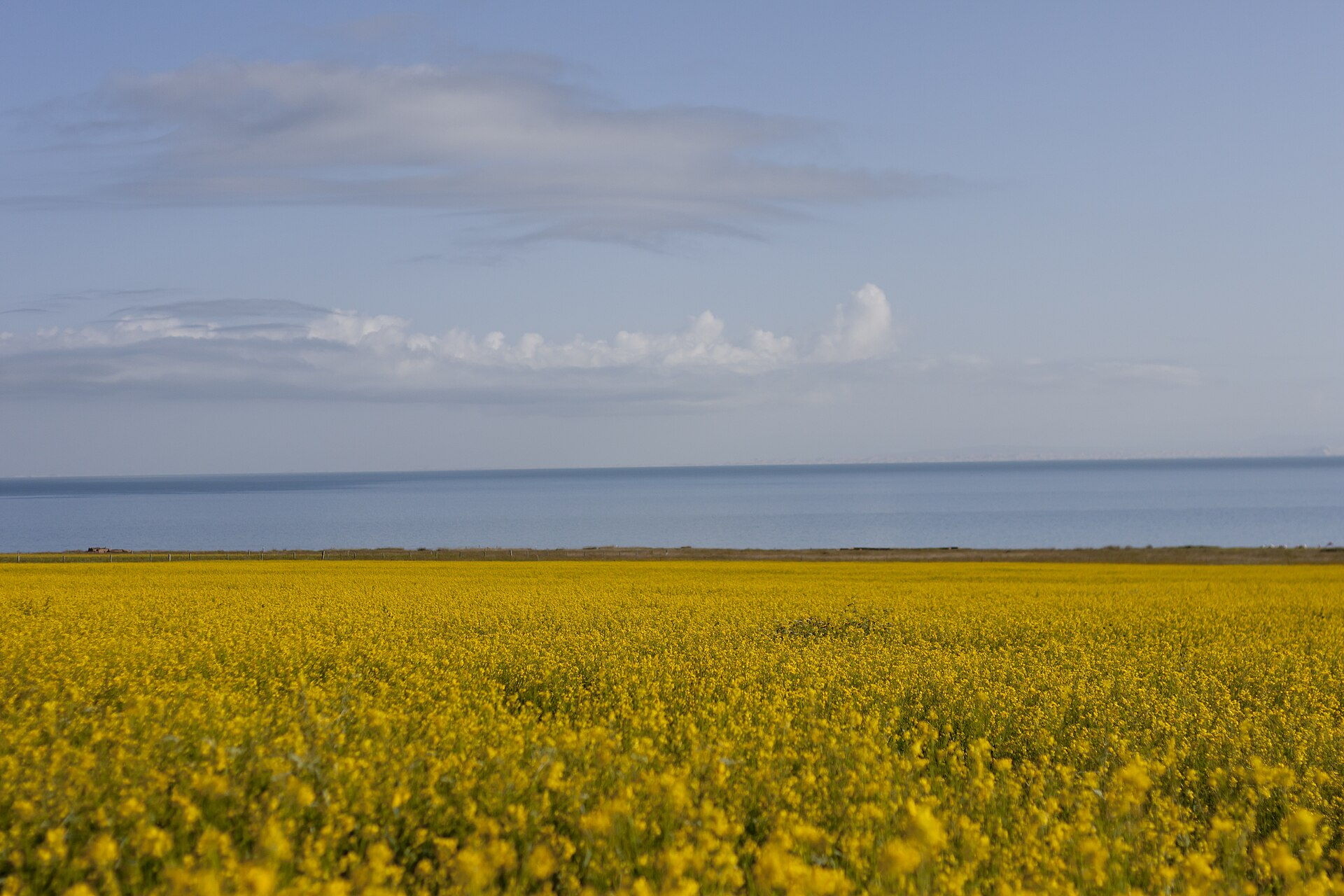
A saline sea roughly 4,600 square kilometres around, ringed by rapeseed in July and herder camps the rest of the year.
The white salt flat at 3,100 metres, then the empty basin west to Golmud and the road that ends at Yuzhu, 6,178 metres.
The southern plateau: Tibetan town, red sandstone gorge, the densest known snow leopard country in China and the chiru calving grounds.
Three private routes currently run on the plateau. Each opens with a full day-by-day, an honest difficulty note and a price guide.
A 360-kilometre clockwise ride in four days of 80 to 100 kilometres, a support vehicle behind it and a rest rhythm built for 3,200 metres.
A first 6,000er done the classic way: base camp at 5,000 metres within walking distance of the vehicles, two glacier days, a 5,600-metre camp and a summit on moderate snow.
Six field days on the Sanjiangyuan highland in Yushu prefecture, working the first and last light when the cats hunt.
The overland line from Xi’an and Lanzhou that most travellers use to reach the plateau — and the natural second half of a Qinghai week.
The three routes side by side with days, prices, grading and season windows — plus what combines with what.
What our team has written from Qinghai and the high country around it.
What a 360-kilometre lap of the lake actually feels like, and why the direction matters.
The honest arithmetic of pedalling above 3,000 metres, and how the days are built around it.
The chiru walk to the lake basins of Hoh Xil each May, and the one road that crosses their line.
Why the night is the hard part, and how the sleeping steps are set on this plateau.
How the plateau compares with Tibet and western Sichuan, and what changes in the plan.
The gorge, the cats and the long patient days that make a sighting possible.
The season is real but tight: rapeseed in July, cold nights either side, and a plateau that can produce hail in any month.
Rapeseed in bloom around the shore, green grassland and the warmest air and water of the year. Peak season and peak colour arrive in the same fortnight.
The same country with cold nights and thinner crowds. Bird colonies taper by June; the autumn skies arrive in September.
Late spring storms and early freezes. Workable for city-and-monastery routes with flexible lake days, not for a fixed riding schedule.
The lake ices over, the high roads close and the herder camps empty. Xining and Kumbum still work; nothing above them does.
The Qinghai facts that move each year — the bloom, the salt mirror and the wildlife windows — tracked on their own board.
The rapeseed window, the conditions the salt flat needs and the calving migration, in one place and checked before anything is promised.
Tell us how high you want to go and how slowly. The lake, the salt flats and the Kunlun road all reward the unhurried version.
Start my journey brief ↗