Shennongjia
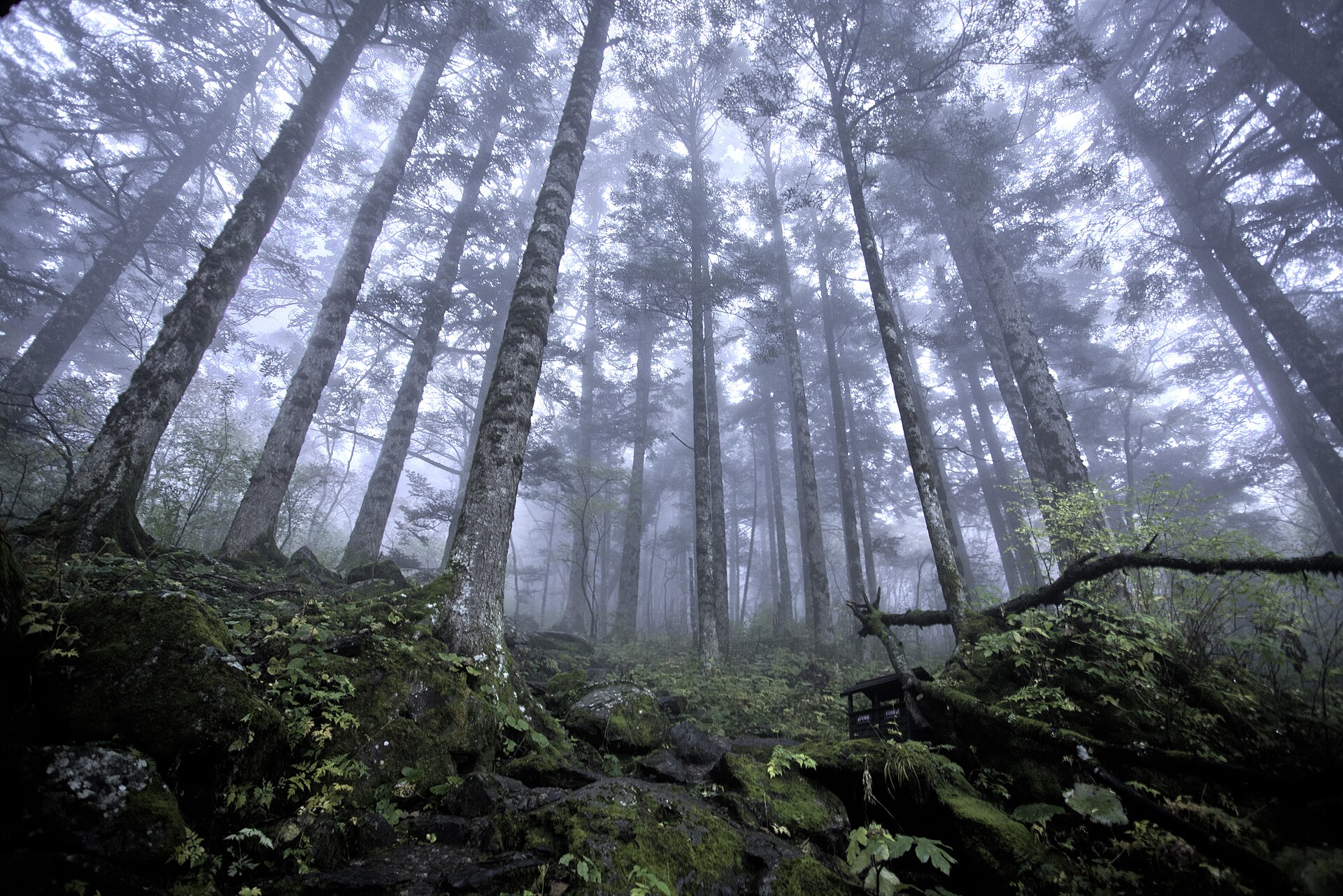
Primary forest from 420 metres to the summit, a subalpine peat basin at 1,730 metres, and 1,550 golden snub-nosed monkeys that live nowhere else.
 Start your enquiry
Destinations / Hubei
The roof of central China, a mountain the Ming dynasty rebuilt in bronze and tile, a limestone canyon 108 kilometres long, and the Yangtze running through all of it.
Explore the guide ↓Central China · the middle Yangtze
Hubei is 185,900 square kilometres and almost all of it is defined by two things: the Yangtze, which enters from the west at Badong and leaves in the east towards Anhui, and the mountains that the river has to cut through to get there. The province is usually described as a basin. In practice it is a mountain west, a flat east, and a river that behaves like a corridor.
The western half is the part worth travelling for. Three separate massifs sit within two hours of each other by road: Shennongjia, the highest ground in central China at 3,106 metres with the largest surviving primary forest between the Qinling and the tropics; Wudang, a metamorphic block that the Yongle emperor turned into the greatest building project of the Ming; and the limestone country around Enshi, where the canyon system runs for 108 kilometres and the water below it is clear enough to read a coin off the bottom.
The river is the second half of the story. Between Badong and Yichang it runs through the Three Gorges — 193 kilometres of them, of which 76 are Xiling, the longest and the one inside Hubei. At Sandouping the dam holds the water 100 metres above its old level, which changed the gorge without flattening it. Downstream is the Jianghan plain, Wuhan, and a province that is industrial, agricultural and, for the traveller, mainly a railway junction.
Three mountains, a river, a canyon and the city that connects them.
Primary forest from 420 metres to the summit, a subalpine peat basin at 1,730 metres, and 1,550 golden snub-nosed monkeys that live nowhere else.
Seventy-two peaks around a single summit, and 200 surviving Ming buildings strung along the pilgrim roads that climb to it.
A canyon of limestone towers, a 3.6-kilometre fissure with waterfalls in it, and the clear-water gorge at Hefeng where the boats look like they are flying.
The province’s second river, green rather than brown, dammed three times, and navigable through the gorge country of Changyang.
Xiling Gorge, the dam at Sandouping, the five-tier locks and the ship lift — the largest piece of infrastructure most travellers will ever stand beside.
Where every rail line in the province meets, the first bridge across the Yangtze, and a river now clean enough for finless porpoises to be counted in the city again.
No fixed departure yet. These are the shapes we build in Hubei.
The western loop, the canyon week, the pilgrim climb, the river and the city add-on, with days and seasons on one page.
Where Wudang and the Tujia country sit among the site’s other cultural walking routes.
The full list of walking products, for comparing Hubei against Sichuan, Yunnan and the rest.
The reference pages for this province.
Why the gorge looks different in June and in November, and what 145 and 175 metres actually mean.
From 40 metres at Yichang to 3,106 on Shennong Peak. Why nobody acclimatises here, and what replaces altitude.
The plum rain, the clear autumn, the snow window on Shennongjia and the holiday weeks to avoid.
The handful of facts that move every year, in one place.
A wet June, a superb October, and two winters that behave differently.
The best all-round window. Tea and rapeseed on the lower ground, rhododendron on the Shennongjia ridges in May, and the canyon before the summer crowds.
The plum rain arrives in mid-June and the canyons run full. Hot and humid on the plain, cool at 1,500 metres — which is why the mountains fill with domestic visitors in July and August.
The clearest months, and the best light. October is the single best month in the province: dry air, low sun, the reservoir at its highest.
Shennongjia goes under snow and ice, and the canyon country is quiet and often in cloud. Wudang in snow is the best version of Wudang, if you can take the cold.
What changes from year to year in Hubei.
Plum rain, reservoir level, snow line and the holiday calendar, on one board.
The 30-metre annual drawdown that changes what the gorge looks like and when the banks are walkable.
Twelve months across the mountains, the canyon and the river.
Tell us whether the mountains or the river matter more, and how much of it you want on foot. Hubei is a province where the driving is long and the walking is vertical, so those two answers decide everything.
Start my journey brief ↗