Shennong Peak · 3,106 m
The highest point in central China. Reached by road to about 2,900 and a boardwalk above that. Snow from November, road closures in winter.
 Start your enquiry
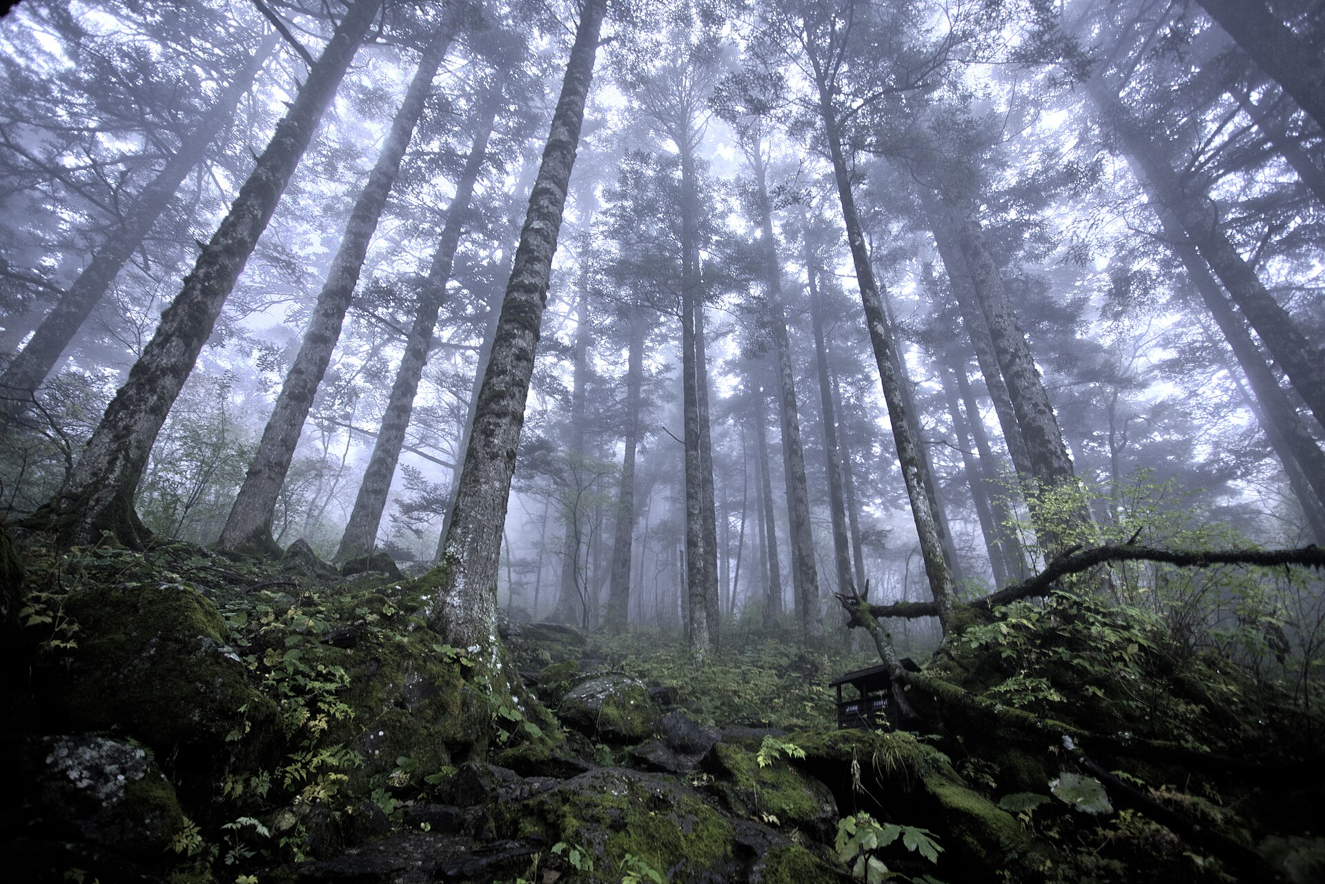
Destinations / Hubei / Altitude
The province tops out at 3,106 metres, which is high enough for snow and low enough that nobody acclimatises. What replaces altitude here is stairs, humidity and distance.
Explore the guide ↓Central China · 23 m to 3,106 m
Hubei’s altitude profile is unusually simple for a province this size. There is one summit above 3,000 metres, a cluster of ridges between 1,500 and 2,500, a canyon rim at around 1,700, and then a great deal of ground below 500 — including the whole eastern half, where the cities are.
That means altitude sickness is not a planning factor anywhere in this guide. Shennong Peak at 3,106 metres is a day trip from a bed at 1,200, and the air is thin enough to notice on the stairs without being thin enough to matter. Wudang at 1,612 and the Enshi rim at 1,700 are ordinary hill altitudes.
What does matter is the thing that altitude usually stands in for: sustained vertical effort. Hubei’s walks are almost all stairways — stone steps up a pilgrim road, boardwalk down into a fissure, 488 metres of catwalk bolted to a cliff — and the cumulative descent is often harder than the climb.
Every elevation worth knowing, in one list.
The highest point in central China. Reached by road to about 2,900 and a boardwalk above that. Snow from November, road closures in winter.
The bottom of the river valleys in the reserve, which is where the evergreen broadleaf belt starts. The vertical range inside one district is 2,686 metres.
The peat plateau, 9,320 hectares of it, ringed by peaks of 2,200 to 2,800. Frost from October.
Qiyuezhai sits in this band, with the cliff walkway at about 1,700. The fissure floor is roughly 75 metres below the rim beside it.
Tianzhu Peak, with the Golden Hall on top. The valley floor at Zixiao is around 800 metres, so the climb is about 800 metres of ascent.
The Yangtze at Yichang runs around 40 metres; the reservoir behind the dam is held between 145 and 175.
The Jianghan plain. No elevation, all humidity: July and August are the physical challenge in this city, not the terrain.
Steps, humidity and the length of the day.
Wudang’s pilgrim stairs run to several thousand steps; Qiyuezhai is 7.5 kilometres with a long descent; Pingshan is 700 to 1,900 steps depending on the entrance. Ask for the number, not the distance.
Stone stairs are harder downhill than up, particularly wet, and particularly for knees. Trekking poles are worth carrying on all three mountains.
In June to September the limiting factor on the canyon and the lower forests is humidity, not thin air. Start at first light and treat 14:00 as lost.
Where the snow actually falls.
Shennongjia, the upper Wudang stairs and the canyon rim all hold snow and ice from December into March. The summit road in Shennongjia closes for part of that.
Muyu, Changyang and Enshi city see little snow and a lot of damp cold. Heaters and heavy quilts are the norm; insulation is not.
Both Shennong Peak and Tianzhu are exposed, and the wind chill at 1,600 to 3,000 metres in winter is the thing people underestimate. A shell and a warm mid-layer are not optional.
Tell us how many stairs a good day contains, and whether snow is a feature or a deal-breaker. That sets which mountain leads the itinerary.
Start my journey brief ↗