
Southwest China
Destinations / Southwest China
Sichuan.
Five hundred metres in Chengdu, seven and a half thousand at Gongga, and three hundred kilometres between them. The province where the Tibetan plateau begins, and the steepest week of travel in China.
7,556 m Gongga, the highest point in China outside the Himalaya — and 500 m in Chengdu, 300 km east of it
01 / Read the province
A province that rises.
Sichuan is where the Sichuan basin meets the Tibetan plateau, and the meeting is abrupt: 500 metres of rice plain, then 7,556 metres of mountain within three hundred kilometres. Everything about travelling here follows from that.
- 01
Chengdu
The gateway · 500 m
- 02
Siguniang
Four peaks · 6,250 m
- 03
Gongga
The king · 7,556 m
- 04
Kangding
The G318 west
- 05
Yading
Three peaks · 3,900 m
- 06
Jiuzhaigou
Travertine · UNESCO 1992
All four corridors start in Chengdu and none of them connect easily in a short trip. West and south-west share the first two hours of road; the north is a separate flight or a separate day. Pick one corridor and go deep into it.
What to see where ↓02 / Choose a landscape
Three Sichuan, not one.
The mountains south-west of the city, the western road over the pass, and the travertine valleys in the north. Each is a different altitude, a different season and a different trip.
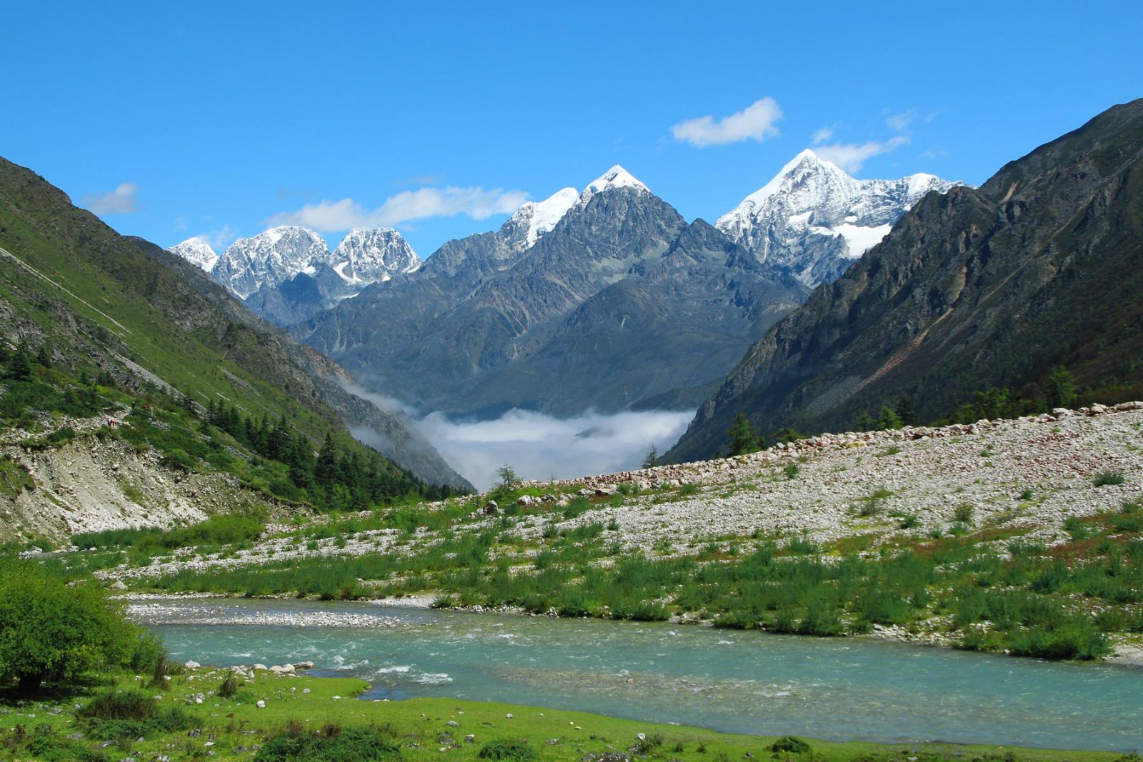
The mountains
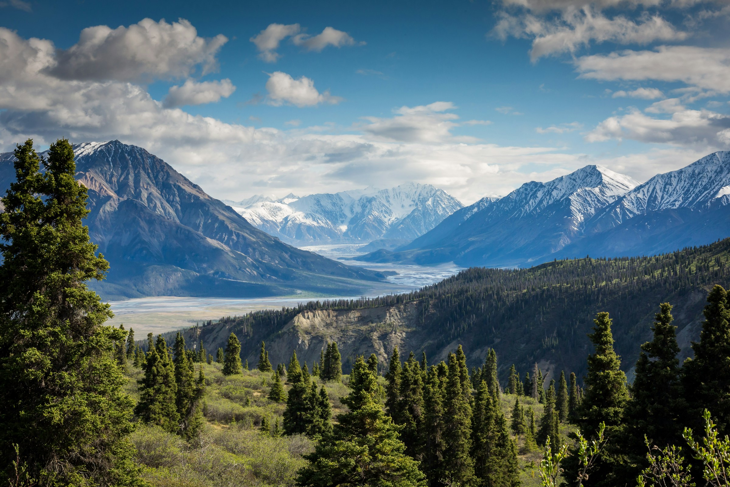
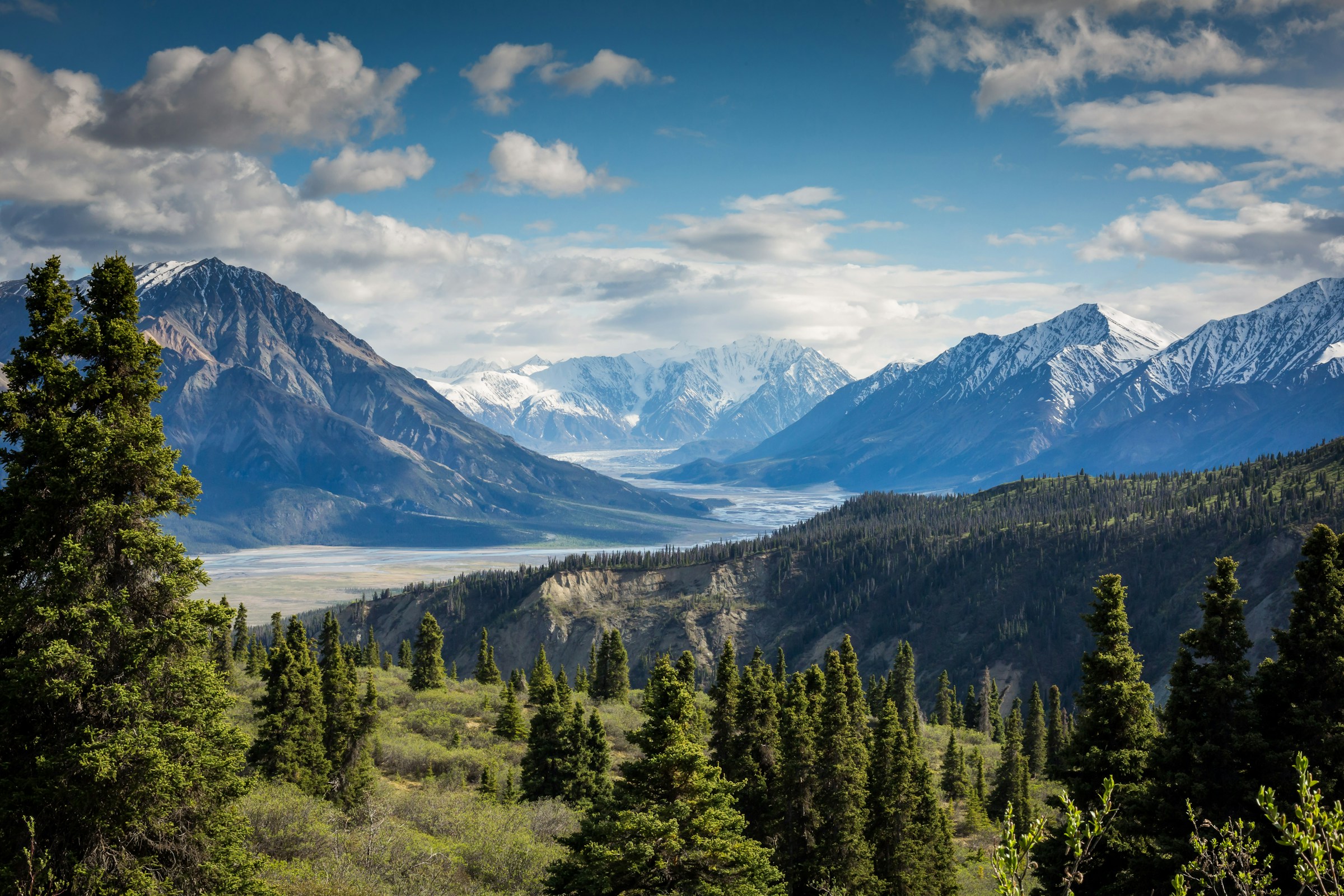
Siguniang’s four summits and the hundred ice falls of Shuangqiao, three hours from Chengdu; Gongga at 7,556 m with a glacier that ends in forest at 2,850. The closest serious mountains to any Chinese city.
Into the Qionglai range ↗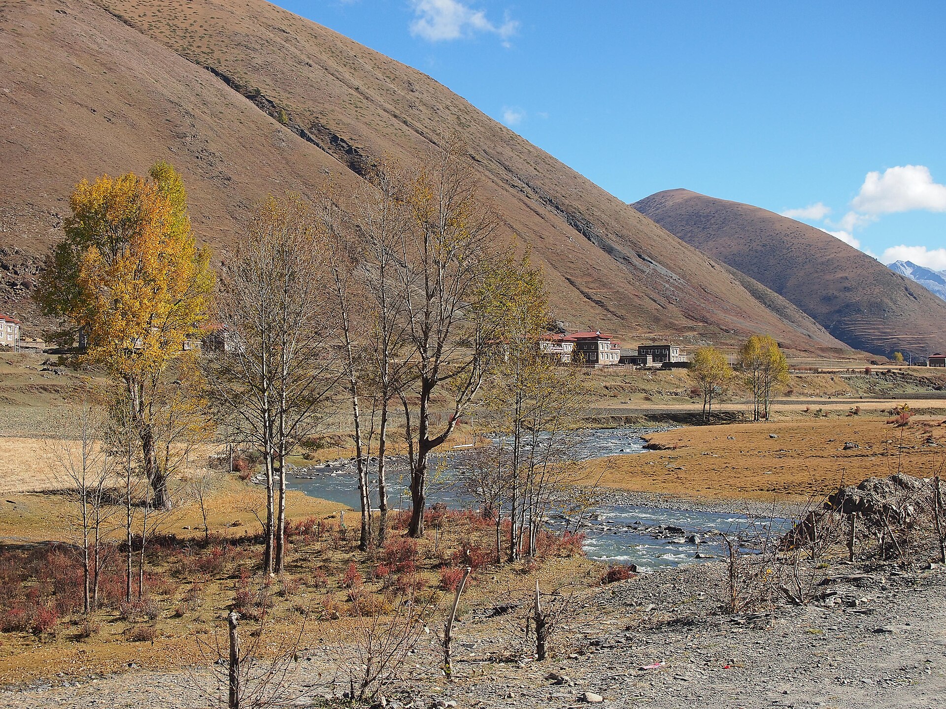
The western road
Kangding in its gorge, Zheduo Pass at 4,298 m, the poplar valley at Xinduqiao and the grassland at Tagong. Then south to Danba’s stone towers, or west to Yading’s three sacred peaks.
West on the G318 ↗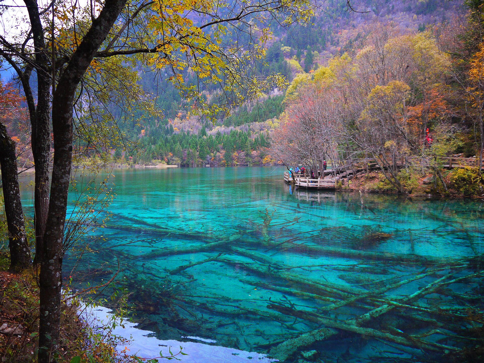
The north
Jiuzhaigou and Huanglong, both World Heritage since 1992, between 2,000 and 3,500 metres: terraced travertine lakes in one valley and a staircase of pools in the next. The gentlest mountain trip in the province.
Into the travertine valleys ↗03 / Pick your month
Two dry windows and a monsoon in between.
Sichuan’s year is defined by the monsoon from June to August, the clear months of September to November, and a long, cold plateau winter with ice climbing in the middle of it.
Open month Cold, closed or limited Best window
April – June · Snow on the peaks
The best all-round window. The passes are open, the valleys are green, the summits still carry their snow and the roads are empty. May is the single best month for a first 5,000-metre summit.
July – August · The monsoon
The plateau at its greenest and the basin at its hottest and wettest. The western roads close for a few hours at a time after heavy rain, and the high peaks are usually in cloud.
September – November · The clear months
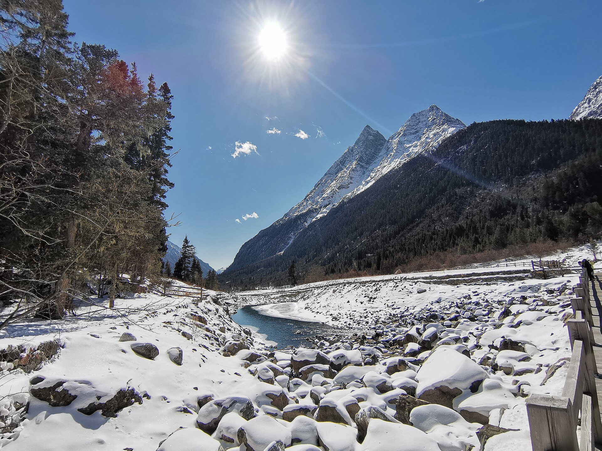
October and early November give the highest probability of a clear summit view on Gongga and Siguniang, and the larches and poplars turn. Cold at night above 3,500 metres, and the best light of the year.
04 / Stay curious
One province, three altitudes.
Sichuan holds the subtropical basin, the Hengduan gorge country and the high plateau inside one border. That is why the same province gives you a teahouse, a 34-kilometre glacial valley and a 7,556-metre summit.
- 01
The basin
Chengdu sits on an irrigated plain at about 500 metres, engineered since the third century BC and still the rice bowl of southwest China. It is the only place on a Sichuan itinerary where nothing is uphill.
- 02
The gorges
Three rivers — the Min, the Dadu and the Yalong — cut north to south between ranges that run 5,000 to 7,000 metres. The roads follow ledges, the villages sit above the flood line, and the vertical relief is among the greatest on earth.
- 03
The plateau
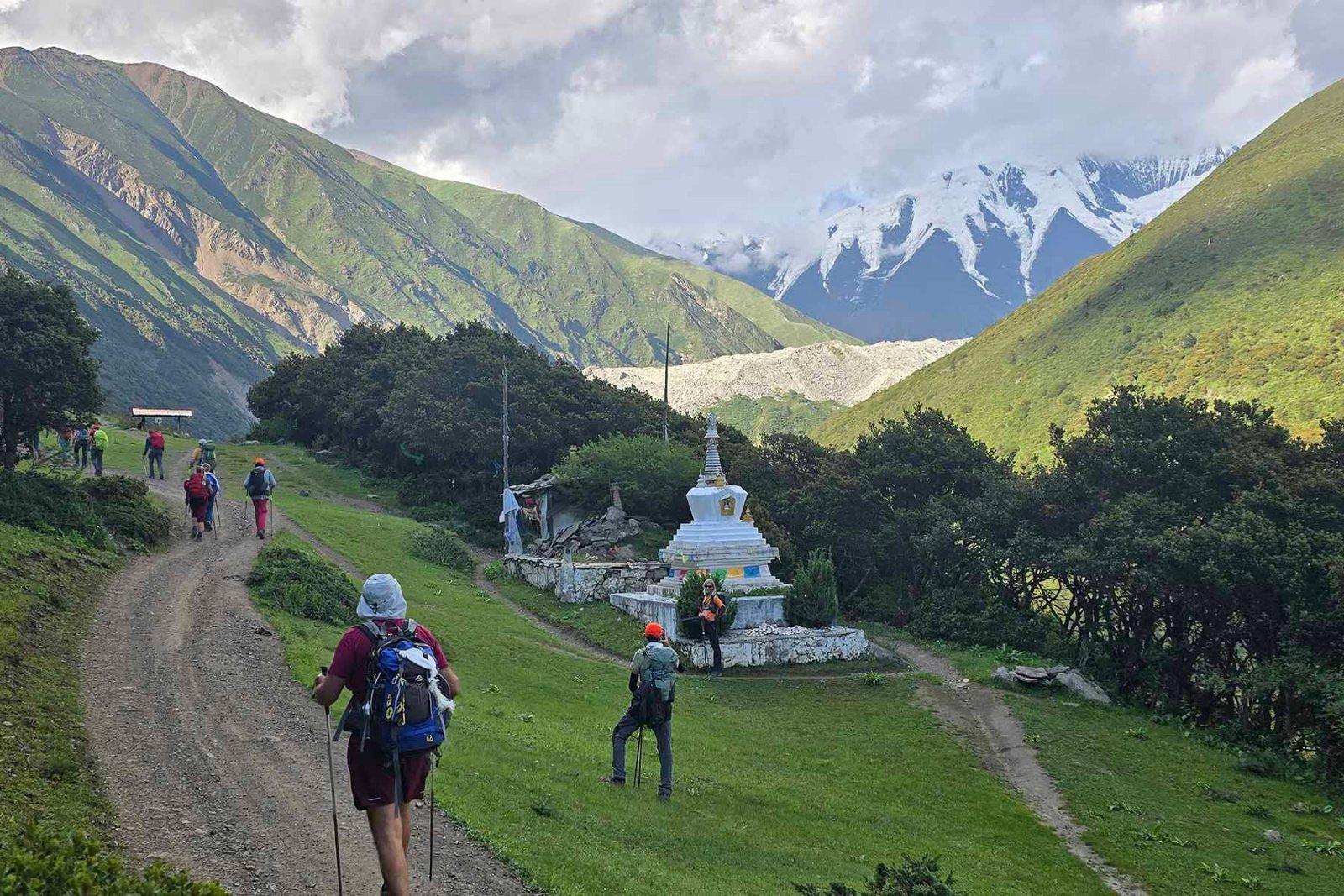
West of Zheduo Pass the land opens into grazed valleys at 3,300–4,000 metres, with nomad tents in summer and a horizon of snow. This is the Tibetan plateau, and it begins within a day of Chengdu.
05 / Go deeper
Four corridors, twenty-nine itineraries.
Sichuan is not one trip. It is four corridors out of Chengdu — the mountains to the south-west, the G318 west, the travertine valleys north, and the reserves — and the itineraries below are filed by corridor and by discipline.
The most common planning mistake is to try two corridors in one week. The second most common is to fly to altitude and walk the next morning.
06 / Before you go
The useful details.
Sichuan is the one province on this site where altitude, not distance, decides the itinerary.
Sleep low, go high
Chengdu at 500 m, Kangding at 2,560, Xinduqiao at 3,300, Tagong at 3,700. That sequence works. Flying into Kangding at 4,280 or Daocheng at 4,411 and walking the next day is how trips are lost.
The roads close
The G318 through the gorge and the Balang and Zheduo passes all close for a few hours at a time in bad weather — landslides in summer, snow in winter. Build a spare half-day into anything that depends on them.
Book the parks ahead
Jiuzhaigou, the Panda Base and Yading all run timed entry with daily caps, and the morning slots go first. The reserve permits take four to six weeks.
Keep exploring
Go one layer deeper.
07 / Common questions
The questions that come up first.
What travellers ask before a Sichuan route takes shape.
01How many days does Sichuan need?
Six to eight for one corridor done properly. Ten to twelve for two. The province is large and the roads are slow, and altitude limits how fast you can move more than distance does.
02Chengdu or the mountains?
Both, and in that order. Chengdu is the hinge of every route, the place to buy forgotten kit, and the only stop below 1,000 metres.
03Can I climb a 5,000-metre peak here?
Yes. Dafeng at 5,025 m is a two-day snow walk from Siguniang town with no technical climbing in good conditions, and it is the standard first summit in China.
04Is Yading worth the altitude?
Yes, if you are acclimatised and you take the first shuttle. The valley floor is at 3,900 m, so it is not a place to arrive and walk.
05Jiuzhaigou in autumn or winter?
Late October for the colour, and accept the crowds; the first week of November for almost the same colour with fewer people; January for ice and an empty valley.
06Do I need permits?
For the reserves, yes, and we arrange them four to six weeks ahead. Some counties west of Litang require permits for foreign travellers. Jiuzhaigou and Yading need timed tickets, not permits.
07What about the 2008 earthquake?
Wolong and the road to Siguniang were both badly damaged and have been rebuilt. The landscape in the Qionglai range still shows it, and the road has been engineered since.
08When are the roads closed?
Landslides close the G318 for hours at a time from June to August; snow closes Zheduo and Balang passes for days at a time between November and March. In winter, check the status the morning you travel.
Something not covered here? See how a private route is put together ↗ or send us your question ↗
Your Sichuan.
Tell us the altitude you want to sleep at and the month you can travel. Those two answers pick the corridor, and the corridor is the whole decision.
Start my journey brief