Six kilometres of vertical
From the summit at 7,556 m the valleys fall to around 1,500 m. Few mountains on earth pack this much gradient into one massif — and the trail feels every metre of it.
 Start your enquiry
Trekking / Gongga · Minya Konka
Gongga Shan stands 7,556 metres over subtropical valley country — the highest peak of the Hengduan ranges, wrapped in a circuit of passes, lakes and a centuries-old monastery.
Start this route briefSichuan · Gongga massif, the Hengduan ranges
Garze Prefecture, south of Kangding — the divide between the Dadu and Yalong river systems
Minya Konka: first climbed in 1932 by Burdsall and Emmons, and rarely since
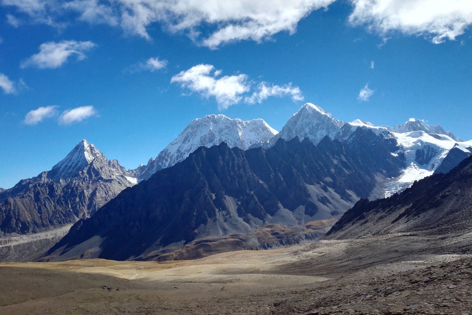
the Riuqi Pass, above the monastery valley and Langgatso lake
spring flowers below the passes, autumn clarity above them
Minya Konka is not climbed much — its faces are dangerous and its weather is its own — but it is one of the great walking mountains of Asia. The massif drops more than six vertical kilometres from summit to valley floor, which means a circuit around it crosses climatic zones the way a journey crosses provinces: glacier country, then rhododendron, then broadleaf forest and farm villages, then back up again.
The routes here follow old horse trails between the Tibetan villages on the mountain's flanks — never roads. Camps sit under the west face, at the monastery, beside Langgatso, and in the Moxi valley where glaciers come down to the trees. It is the most complete single-mountain trek in China, and the one our western Sichuan programme is built around.
Four facts that explain why one mountain takes a week and a half to walk around.
From the summit at 7,556 m the valleys fall to around 1,500 m. Few mountains on earth pack this much gradient into one massif — and the trail feels every metre of it.
Two Americans who had never seen 7,000 metres walked up it with mules and a barometer. The story still frames how the mountain is understood: big, honest, and not to be rushed.
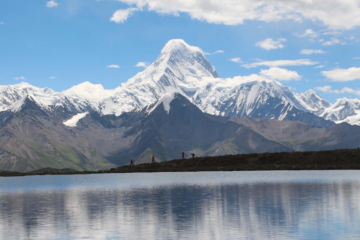
The circuit's high camp sits by a lake that mirrors the whole west wall. On still mornings the mountain photographs itself.
A group circuit, a deeper private crossing, a lodge-based version, a panorama format, and a self-supported line — the same mountain, five shapes of journey.
Expressway and mountain road to Moxi or Kangding, a day's drive with the range filling the windscreen by evening.
Most of our routes enter from the less-visited side, following village horse trails up through forest and scrub to the first camp under the big walls.
The gompa below the west face has watched the mountain for centuries; the camp above it puts you against the glacier line at sunset.
The walking days link lakes, moraine and grass benches, with the Riuqi Pass at 4,950 m as the high exit — the whole range laid out behind you.
Descents run through rhododendron and village country to the road head, and a comfortable hotel bed that feels earned.
The group circuit compresses the highlights into a week. The in-depth crossing adds days on the quiet west side and finishes over the high pass. The lodge version sleeps in village guesthouses instead of tents; the panorama format trades altitude for photographically engineered viewpoints; the self-supported line strips the crew away entirely.
All five run as private departures on your dates, with a cook crew and horse or porter support on the camping versions. Which shape fits depends on your altitude history and how many nights of tent you want — that conversation is what the route brief is for.
There is no special permit for the circuit itself, but the routes pass through national park and village land where fees and ranger registration apply. We handle both.
Camp two sits above 4,000 m and the high pass touches 4,950 m. Anyone who has walked at 4,500 m before will be fine; anyone who has not should choose the lodge shape first.
The massif makes its own clouds. May–June is flower season, September–October is clarity season, and July–August is a gamble with afternoon storms.
Porters move the camp, a cook crew feeds it, and a riding horse follows on the climbing days. You carry a day pack and nothing else.
Walking around Minya Konka is the point. The mountain's climbing history is a reminder of what its faces do to people who treat it casually.
Langgatso's reflection, the sunrise walls, the monastery morning smoke — the circuit is a portfolio in nine days.
Gongga sits on the corridor to Litang, Yading and Yala — most travellers keep walking west after it.
The crew carries the camp; you carry the day. Layers matter more than gear volume.
You can see Minya Konka from aeroplane windows and highway lookouts. What you cannot see from anywhere with a road is the west face at dawn from a tent, or the monastery's evening horns carrying across a glacier valley, or the moment the whole range appears at once from the high pass.
That is what a circuit buys: not a photograph of the king of Sichuan mountains, but a week of living in its weather.
The mountain does not get smaller as you walk around it. You get larger.
Five versions of the Gongga circuit run as private departures — tell us your dates and altitude history and we will match the shape.
Gongga in-depth trek · Gongga group trek · Gongga five ways: the field guide
Start a route brief