Turpan basin
The city, the ruins and the oasis walks sit below sea level to low; heat, not altitude, is the constraint here.
 Start your enquiry
Destinations / Xinjiang / Altitude
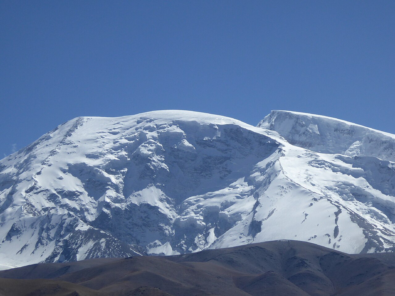
The plate spans more vertical than any other region we run — from 154 metres below the sea to a 7,546-metre dome. Here are the numbers, and what they mean for sleeping and walking.
Explore the guide ↓Xinjiang, all regions
Three altitude bands cover the journeys. The oasis band — Turpan and the northern rim — sits at or below 1,000 metres and includes the lowest land in China. The valley band — the Ili corridor, the Altai towns — runs 600 to 2,500 metres, comfortable for all comers. The plateau band — the Pamir road — is where altitude becomes a planning input: Karakul sleeps at 3,600 metres and the expedition camps climb to 6,900.
Most journeys touch only one band. The two that mix bands — the Pamir road and the flagship — build their altitude steps deliberately.
By journey and place.
The city, the ruins and the oasis walks sit below sea level to low; heat, not altitude, is the constraint here.
The lake, Hemu and Baihaba all sit in the forest band — no altitude effect at any point.
One night at the yurt camps; noticeable on the first climb, gone by breakfast.
The sleeping point of the Pamir road — one night, supported, after a climb from Kashgar at 1,300 m.
The trek's high point on day five, crossed from camps at 2,800–3,000 m — a walk-over, not a climb.
The expedition alone: base 4,400 m, high camps to 6,900 m, summit by the west ridge.
The rule we build by: one sleeping step of no more than about 1,000 metres, a night at the step before walking higher, and descent as the cure. The Pamir road follows it exactly — Kashgar at 1,300 m for three days, Karakul at 3,600 m for one night, Tashkurgan at 3,100 m for the next. Guests with mountain histories tell us at enquiry; the route flexes around them either way.
The trekking passes are walked over, not slept on, and the expedition is its own documented programme with rest days built in. Altitude on this plate is manageable everywhere — when the itinerary respects it.