Chengdu & the plain
The last flat ground, the pandas, the teahouses and the food. Everything west of here is uphill.
 Start your enquiry
Destinations / Sichuan
Five hundred metres at Chengdu, seven and a half thousand at Gongga, and three hundred kilometres between them. The steepest province in China, and the one with the most ways up.
Explore the guide ↓Southwest China · the edge of the plateau
Sichuan is where the Sichuan basin meets the Tibetan plateau, and the meeting is abrupt. The Chengdu plain sits at about 500 metres and grows most of the rice in southwest China; three hundred kilometres west, Gongga stands at 7,556. Between the two, three great rivers — the Min, the Dadu and the Yalong — cut north to south through gorges deep enough to keep the roads on ledges for hours at a time.
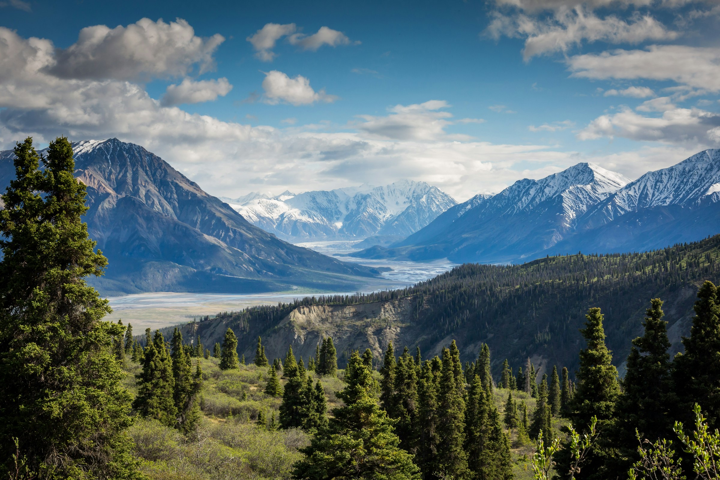
That single fact organises everything. Within one province you get subtropical bamboo forest, 4,000-metre grassland, travertine lakes, the deepest gorge country of the Hengduan ranges, and glaciers that reach down into conifer forest at 2,850 metres. It is also why the province holds five UNESCO World Heritage sites, three of them natural.
For a traveller, Sichuan is not one destination but a set of corridors out of Chengdu: west along the G318 to Kangding and Litang, north-west to Jiuzhaigou and Songpan, west to Siguniang and the Qionglai range, south-west to Yading and Daocheng. Each is a drive of two to six hours and each has its own altitude, season and weather. The mistake is to try three of them in a week.
Seven ways out of Chengdu, each with a different altitude band.
The last flat ground, the pandas, the teahouses and the food. Everything west of here is uphill.
Four peaks on one ridge, a 34.8-kilometre valley and more than a hundred ice falls. The closest real mountain to Chengdu.
The highest mountain in China outside the Himalaya, and a glacier whose tongue ends in forest at 2,850 m.
Three sacred summits above a valley floor at 3,900 m, with lakes at 4,500 and a two-day approach.
Travertine lakes between 2,000 and 3,100 m, and a second valley of terraces above them.
The old tea road west: Xinduqiao’s poplars, Tagong’s grassland and the towers of Danba.
The reserve system that protects the giant panda, from Wolong and Wanglang to Tangjiahe.
Twenty-nine itineraries, filed by discipline rather than by province.
Every corridor on one page, with days, seasons, altitude and how they combine.
Erfeng, Nama, Yamu, Wukuchu, Jinyin, Reddomain and Zhongshan, in ascending order of commitment.
Four products from a taster day to an advanced week, in the valley with the densest ice in China.
What our team has written about the province.
Gongga, Minya Konka, Yading, Siguniang and the Hengduan traverse.
Panda, red panda, takin and golden monkey, in reserves that are closed to independent travel.
Why Sichuan is the province where altitude planning actually matters, and how to do it.
The older, shorter guide to the city and its sights.
Two dry windows, one wet summer and a long, cold plateau winter.
The best all-round window. Snow is still on the peaks, the valleys are green, and the passes are open. May is the pick for Siguniang and Gongga.
The monsoon. The plateau is at its greenest and the Sichuan basin at its hottest and wettest; landslides close the western roads most years, and the mountains are usually in cloud.
The clearest months. October and early November give the highest chance of a clear summit view, and the larches and poplars turn. Cold at night above 3,500 m.
Winter. Ice climbing season in Shuangqiao, hard frost on the plateau, and some high passes and reserve roads closed. Jiuzhaigou is quiet and partially frozen.
The Sichuan facts that move: snow, ice and the passes.
The snow window, the monsoon, the ice season and the pass closures, on one board.
When Gongga and Siguniang actually show themselves, and why autumn is not automatically the answer.
When the falls come in, what forms first, and how the January festival changes the valley.
Tell us the altitude you want to sleep at and the month you can travel, and the corridor chooses itself. Most people try to do three and should do one.
Start my journey brief ↗