Guiyang
The capital and the hub. Cool in summer, damp in winter, no altitude rules at all.
 Start your enquiry
Destinations / Guizhou / Altitude
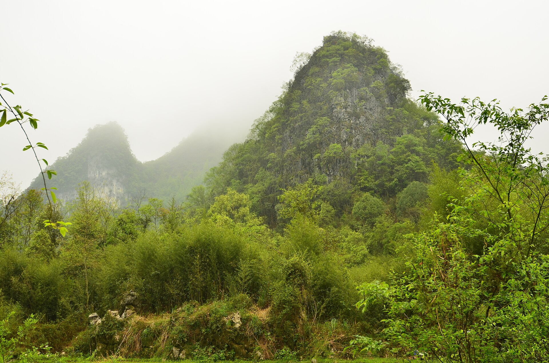
This is the low province. Most of it sits between 500 and 1,300 metres, and the height that matters is the one mountain, not the plateau.
Explore the guide ↓Guizhou, all regions
Guizhou averages about 1,100 metres, which is high enough to keep summers cool and low enough that acclimatisation never enters the conversation. Guiyang is at 1,100, Anshun at about 1,300, the village country in the southeast between 400 and 900, and Libo at around 500. Nobody arrives here with a headache from the air.
The exception is Fanjingshan, where the gate sits at about 500 metres and the summit at 2,570, with a cable car doing most of the work. That is a single day of height rather than a stay, and the issue on the summit is cold and wind rather than thin air. The province’s true high point, Jiucaiping at 2,900 metres on the Yunnan border, is not on any standard route.
By place and by route.
The capital and the hub. Cool in summer, damp in winter, no altitude rules at all.
The waterfall belt. The falls drop 77.8 metres into a gorge you walk down into; the stairs are the only climb.
A thousand households on a hillside, connected by stone lanes. Steep walking, ordinary air.
The lowest of the big villages, in a river valley in Liping county. Warm, humid and green.
The karst south. Humidity is the physical fact here, not height.
The Red Clouds Golden Summit at 2,336 and the massif high point at 2,570, reached by cable car and about an hour of steps.
Since altitude is not the constraint, three others take its place. Rain is the first: this is one of the wettest provinces in China, and a route with one night per base loses whole days to weather. Road time is the second: ninety kilometres in the southeast can take two and a half hours, and the map is consistently optimistic. Heat and humidity in July are the third, particularly in the river valleys around Zhaoxing and Libo.
The practical response is the same in all three cases: fewer bases, longer stays, and a spare half-day at the place that matters most. A Guizhou route built as a list of villages is a route spent in a car. A route built as three bases with two nights each is a holiday.
The one piece of altitude advice worth repeating concerns Fanjingshan. The summit is 10 to 15 degrees colder than the gate and exposed to wind, and the stairway up the Red Clouds pinnacle is a chain-and-step climb with real exposure. That is a fitness and nerve question, not an acclimatisation one.