Beihai and Weizhou · 0–79 m
Sea level, and the island’s highest point is 79 metres. The flattest part of any Guangxi itinerary, and the warmest.
 Start your enquiry
Destinations / Guangxi / Elevation
Sea level at Beihai, 150 metres at Guilin, 1,100 at the top of the Longji terraces, and 2,142 on the province’s only real mountain. This is the one province here where altitude is not the problem.
Explore the guide ↓Sea level to 2,142 m
Guangxi’s highest point is Mao’er Shan, 2,142 metres, in the Yuecheng range at the northern edge of the province. It is the highest mountain in southern China and the source of the Li River, and it is the only place in Guangxi where you are above 2,000 metres at all. Everything else on a normal itinerary sits between sea level and 1,100 metres.
That has one very practical consequence: acclimatisation is irrelevant here. You can fly into Guilin, sleep at 150 metres, drive to the terraces at 1,000 the next day and walk without any of the sequencing that a Sichuan or Qinghai trip requires. There is no altitude sickness in Guangxi outside the odd headache on Mao’er Shan.
What replaces it is heat. The province is subtropical, humid, and at low altitude, which means the physiological load comes from 33 °C and 80 per cent humidity rather than from thin air. The planning problem is water, shade and the middle of the day, not Diamox.
The elevations you will actually sleep and walk at.
Sea level, and the island’s highest point is 79 metres. The flattest part of any Guangxi itinerary, and the warmest.
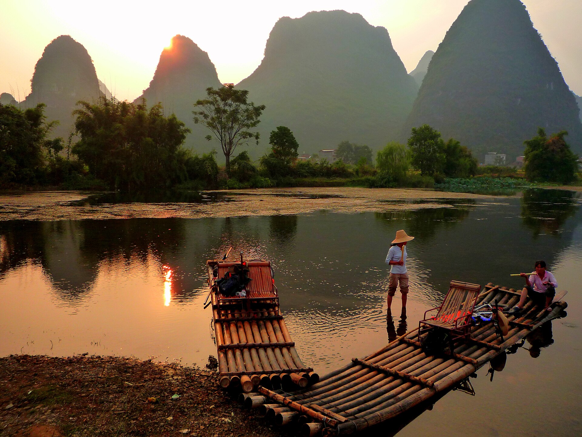
The river valley. Karst towers rise 50–200 metres above the plain, so a “climb” here is 20 minutes, not a day.
The terraces run from the valley floor to the ridge, and the villages sit between 800 and 1,000 metres. Cooler than the plain by 4–6 °C.
The north-western plateau, and the coolest place on a standard route. Nights can drop to 10 °C even in summer.
The province’s only 2,000-metre summit, reached by road and a short summit walk. Cold, wet and often in cloud; the mountain where a jacket matters.
How to plan around a subtropical lowland.
Between May and September, the usable day is 06:30 to 11:00 and 16:00 to dark. Climbers in Yangshuo keep exactly these hours, and walkers should too.
Two to three litres a day on a walking day, and something with salt in it. The humidity means you do not notice how much you are losing.
On a 35 °C afternoon, a cave is 20 °C and dark. Leye and the Guilin caves are the sensible midday plan in July and August.
If you are coming from a high-altitude trip, Guangxi is where you recover. Tell us the sequence and we will put the low, warm days in the right place.
Start my journey brief ↗