Dashiwei
The flagship tiankeng, with a rim walk and the Yuntian platform cantilevered over the void. The floor is closed to walkers; the forest down there has been isolated for long enough to be its own ecosystem.
 Start your enquiry
Destinations / Guangxi / Leye
The densest cluster of collapse dolines on earth, in the karst plateau of far western Guangxi: shafts six hundred metres deep, rivers that disappear into caves, and forest on the floor of a hole in the ground.
Explore the guide ↓North-west Guangxi · 970 m
Two hundred kilometres north-west of Nanning, the Guangxi plateau is made of thick, pure, horizontally bedded limestone, and it rains on it constantly. Water sinks along joints, dissolves the rock from underneath, and excavates river caves. When the roof of a very large cave chamber fails, the surface drops into it and leaves a shaft with sheer walls and a floor that has never been farmed: a tiankeng.
Leye has more of them than anywhere else. Twenty-eight have been found in a hundred square kilometres; twenty-three of those are inside the Leye–Fengshan UNESCO Global Geopark, inscribed in 2010. Dashiwei is the largest: 613 metres deep, with a mouth 600 metres east to west and 420 north to south, and 10.5 hectares of near-primary forest on the floor. It is the second-deepest known collapse doline in the world, and by the measure of its floor forest, the richest.
This is not a theme park. The geopark has viewpoints, a cantilevered platform over Dashiwei, and boat trips through the Sanmenhai windows, but the surrounding country is expedition terrain: unmapped caves, underground rivers that resurge kilometres away, and karst valleys where the road simply stops. It is the one part of Guangxi where the adventure is geological rather than athletic.
One great shaft, one drowned cave, one stone bridge and a hall of calcite.
The flagship tiankeng, with a rim walk and the Yuntian platform cantilevered over the void. The floor is closed to walkers; the forest down there has been isolated for long enough to be its own ecosystem.
A cave system on the Poxin underground river with seven collapse windows, three of them navigable by boat. You travel through a mountain on black water and come out under daylight in the middle of it.
A natural arch over a green river, 280 metres long in total and 165 metres high, formed when three hills collapsed. It is the largest natural river bridge in the region and you can walk across the top.
A show cave in Leye town with more cave lotus basins — the calcite rims that grow in shallow pools — than any other cave recorded. Short, lit, and a good wet-afternoon stop.
A plateau at 1,000 metres, with a wet summer and a cool dry winter.
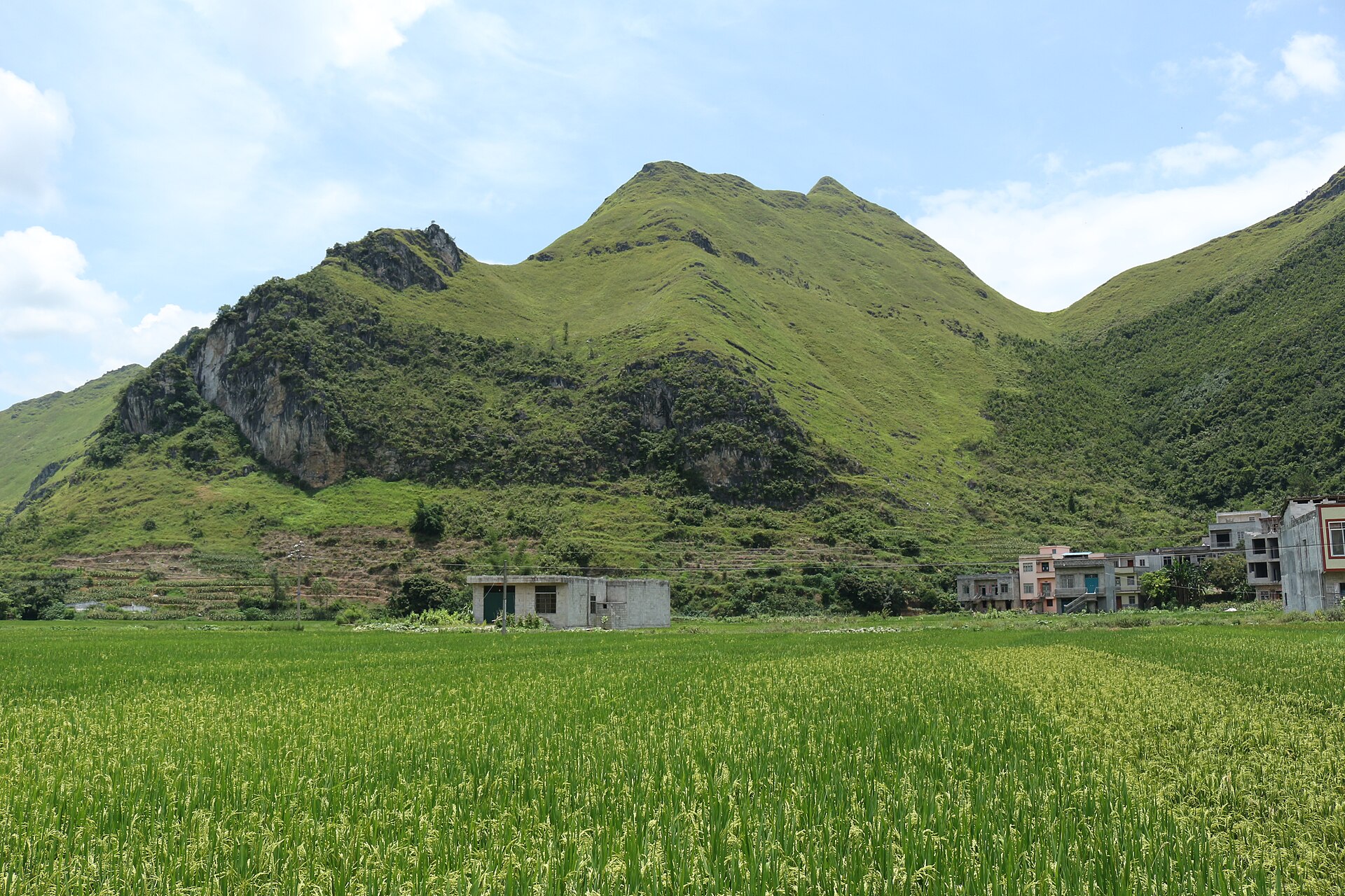
The best months: dry, 15–24 °C, clear air, and the rice harvested on the valley floors. The rim of Dashiwei is at its most legible.
Mist, green valleys and low cloud, which is atmospheric on the rim but can close the views entirely for days.
The wet season, and the reason the caves exist: 30 °C and heavy rain, with underground rivers running high. Some cave trips become impossible, and the plateau roads suffer.
Cold, damp and often fog-bound, 5–12 °C. Quiet, cheap, and the shafts sometimes fill with cloud — the phenomenon the local name for the platform refers to.
A long drive from anywhere, which is the point.
Baise Bama airport is the nearest, about three hours by road; from Nanning it is four to five hours. There is no rail connection to Leye. Most visits are built into a western Guangxi loop with Fengshan and Bama.
The tiankeng viewpoints are reached by road and short walks. Sanmenhai needs a boat and a guide. Anything beyond the marked routes needs a caving permit and a certified guide, and we arrange both.
Leye town for the cave and the roads, or a guesthouse near Dashiwei for the dawn cloud. Fengshan, an hour east, has the second cluster and the better caves.
The geology that made the geopark.
Thick, pure, horizontally bedded limestone; a high water table; a monsoon; and a plateau that has been lifting for millions of years, which keeps the underground rivers cutting downwards. All four are present here in unusual strength.
A tiankeng is not a soil collapse. It is the failure of a very large cave chamber roof, so the walls are rock from top to bottom and the floor is a debris cone with its own drainage. That is why the forest on the floor of Dashiwei is undisturbed.
The caves here are still being surveyed. The 6,500-year figure often quoted refers to the age of the karst landscape, not to any individual shaft; the tiankengs themselves are much younger, and the dating is an active research question.
Permits, water and edges without railings.
The show caves are open; everything else requires a permit from the geopark and a certified guide. Do not enter an unmapped cave with a phone torch, and do not assume a dry entrance stays dry.
At Dashiwei the viewpoint is safe, but the surrounding rim path has unprotected edges and loose rock. Keep children close and do not approach the lip in wind or rain.
This is the least accessible part of Guangxi. Two nights minimum, three to combine Dashiwei, Sanmenhai and the Buluo bridge, and a driver who knows the plateau roads.
Tell us whether this is a viewpoint trip or a caving trip. They are different weeks, different kit, and only one of them can be improvised.
Start my journey brief ↗