Zhangye Danxia
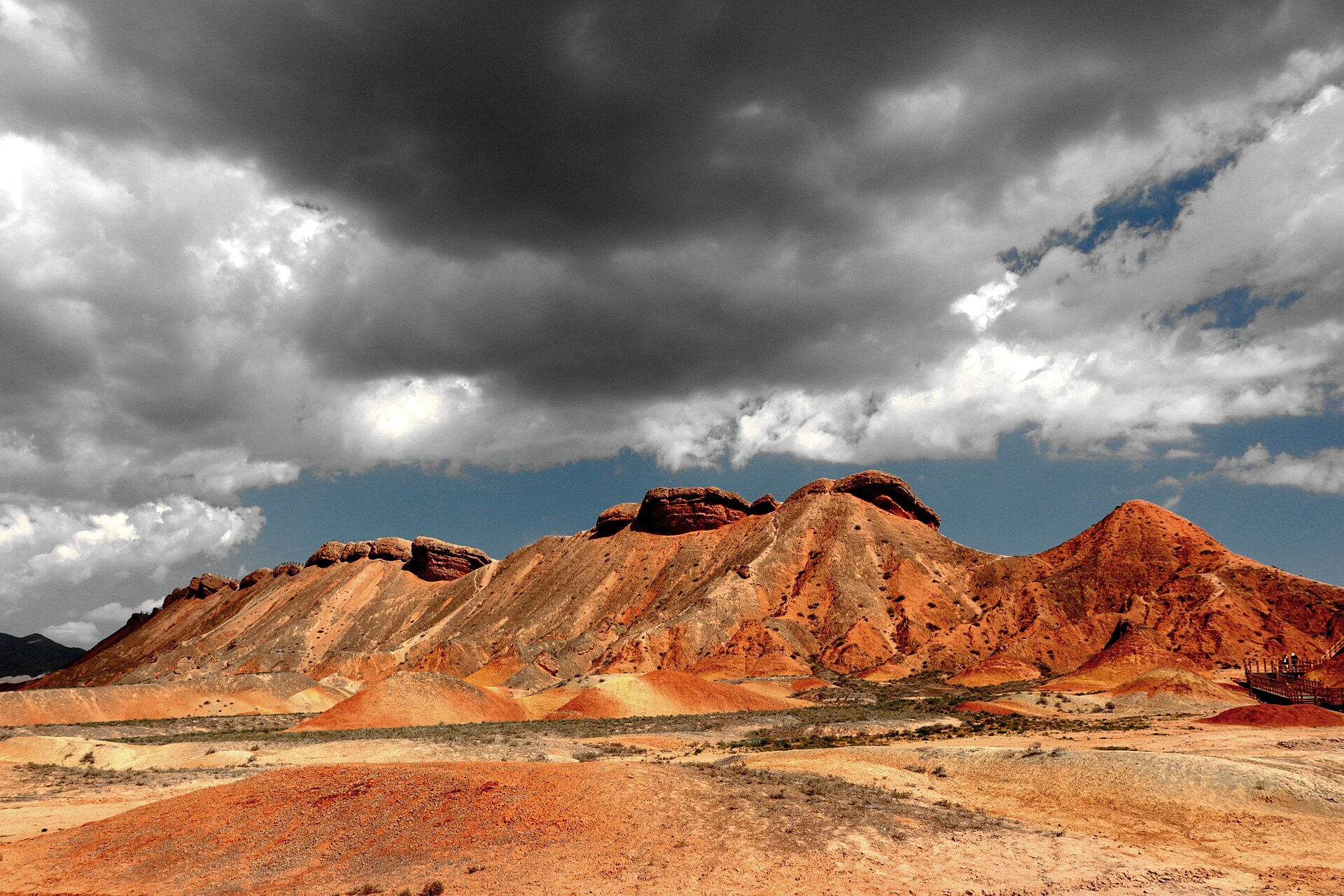
Boardwalks over the ridges, four viewing platforms, and a shuttle system that decides your pace. Early or late, never midday.
 Start your enquiry
Destinations / Gansu / The Hexi middle
The middle of the corridor: painted mineral hills above Zhangye, a reclining Buddha thirty-five metres long, and the fort that closed the Ming wall where the valley narrows.
Explore the guide ↓Central Gansu · Zhangye & Jiayuguan
Between Zhangye and Jiayuguan the corridor is at its most legible. The Qilian range stands along the southern edge with snow on it into June, the plain between is irrigated from that meltwater, and the towns sit where the rivers reach the flat ground. Zhangye is the bigger and older of the two: a Han garrison, a Tang trading town, and for a century in the medieval period a centre of Buddhist translation.
The landform that made Zhangye famous is 40 kilometres southwest: a ridge of Cretaceous sandstone, tilted and then eroded into bands of red, grey, ochre and green, which the Chinese press named the painted hills and the geopark lists as danxia. It is best in the two hours after sunrise and the two before sunset, when the bedding planes catch the light sideways. At midday it looks like a quarry.
Jiayuguan, 230 kilometres further west, is where the corridor is at its narrowest — a few kilometres between the Qilian foothills and the black hills to the north. That is why the Ming built their western gate here in 1372 and kept rebuilding it: a fort on a pass, with walls running up both sides of the valley, and beyond it the desert that no dynasty bothered to hold.
Two days of landscape, one of tombs and one of walls.
Boardwalks over the ridges, four viewing platforms, and a shuttle system that decides your pace. Early or late, never midday.
A 1098 hall with a clay reclining Buddha thirty-five metres long, the largest of its kind in China, and a stupa behind it holding a Ming monk’s relics.
Three concentric walls, a barbican designed so attackers could not charge straight in, and the desert visible over the parapet in every direction.
The Ming wall climbing a ridge north of the fort at a gradient that looks impossible. An hour of stairs, and the best view of the pass.
Wide skies and a short green season.
The Qilian snow line is low, the oasis is green and the light is clean. The best combination for the danxia and the fort.
Hot days, warm nights, occasional thunderstorms over the mountains. Busy at the geopark between ten and four; go at opening.
Dry, clear and cold at dawn. The poplars along the channels turn yellow, which is the photograph most people come back with.
Cold, windy and quiet. The fort in snow is superb; the danxia boardwalks ice up and some shuttle routes stop.
High-speed rail has made this the easy half.
Zhangye West to Jiayuguan South is about 1 hour 20 on the high-speed line; Lanzhou to Zhangye is four hours. The stations are outside town, which adds twenty minutes at each end.
Forty kilometres each way, plus the shuttle and the boardwalks: half a day, and a full one if you add Binggou. A private vehicle is the difference between seeing it at seven and seeing it at eleven.
The fort, the Overhanging Wall and the Wei–Jin tombs at Xincheng make a natural loop of six or seven hours. The tombs are underground brick chambers with painted murals and no photography.
Walls, tombs and irrigation.
Jiayuguan was not the end of China; it was the end of the defended line. Beyond it the corridor continues to Dunhuang, held when the dynasty was strong and abandoned when it was not.
The Wei–Jin brick tombs at Xincheng are small, painted and extraordinary: banquets, hunts, ploughing, and a brick-by-brick rendering of the afterlife of a frontier official.
Every field here is fed by a canal from the Qilian. The oases are engineering, not climate, and the poplar windbreaks that hold the fields together were planted, not found.
Sun, dust and a 40-kilometre drive.
Both towns sit between 1,480 and 1,600 metres. Nothing to acclimatise to, and a good place to spend a night before the plateau or the mountains.
The plain is bright and windy, and the danxia boardwalks have no shade. Hat, sleeves, water; the wind will take a loose hat.
The geopark and the fort are both ticketed with timed entry in peak season, and both sell out on public holidays. We hold the slots when we book the route.
Tell us whether you want the landscape or the walls. Zhangye and Jiayuguan reward two nights each, and punish a single one.
Start my journey brief ↗