The First Bend
The Nu's great turn — a horseshoe of turquoise below terraced fields and the Peach Island hamlet. Dawn and late light both work; the valley runs deep.
 Start your enquiry
Destinations / Yunnan /
Three hundred kilometres of the last undammed great river in China: Lisu and Nu villages, cable crossings, the great First Bend and the mist-filled paths of the Fogli village — road travel the way it used to be.
Explore the guide ↓Nujiang Lisu prefecture · 800–1,800 m · the border valley
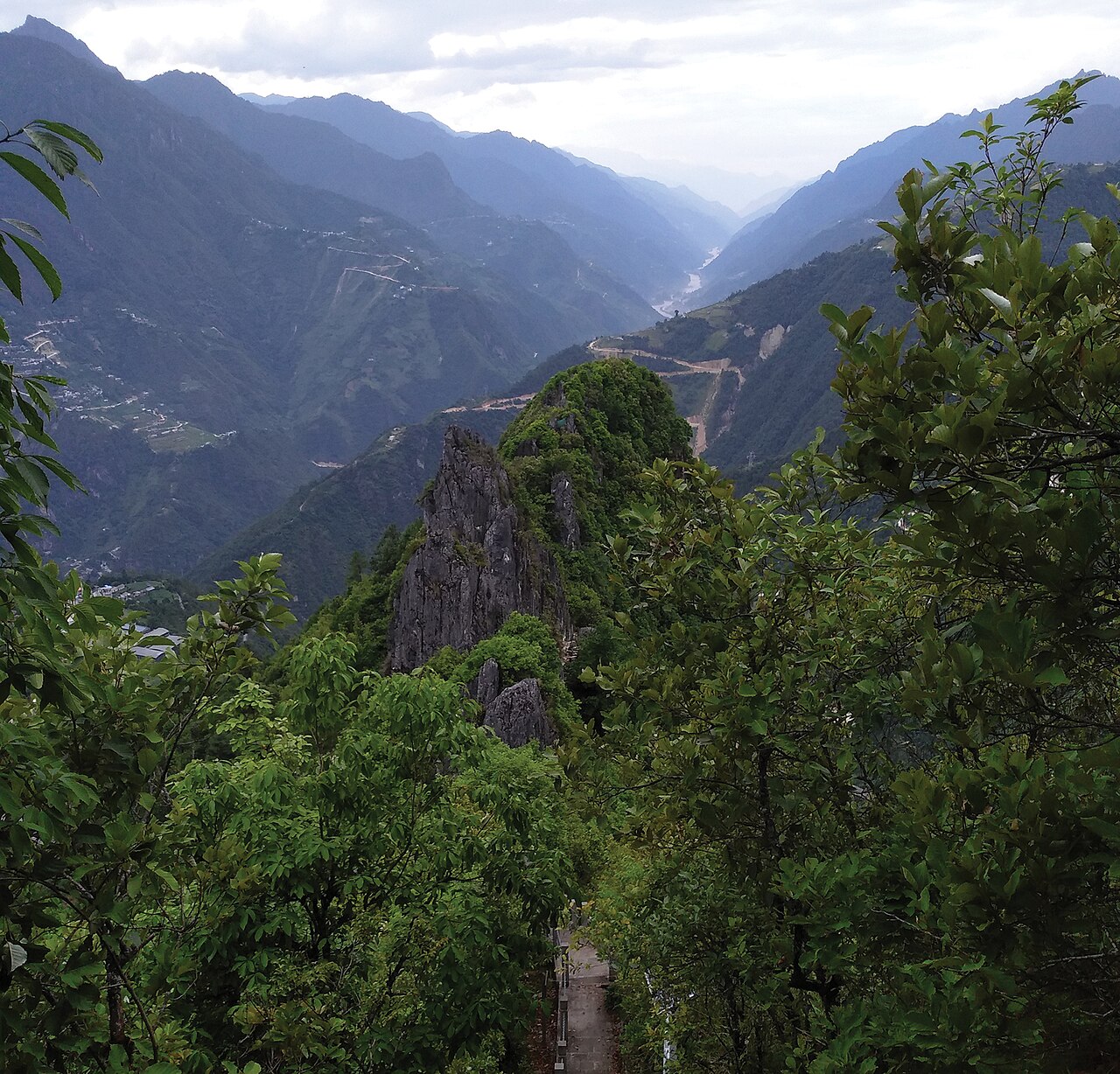
Three great rivers run south through parallel mountain walls in western Yunnan, and two of them are developed. The third — the Nu, the Salween of the maps — runs wild: inside the Three Parallel Rivers national park the river keeps its free flow, and the valley road below the gorge walls threads one of the least-altered river journeys left in China. Lisu farming villages, Nu hamlets, cable crossings still in daily use, churches from a century of mission history, and the occasional mule train on the footpaths above the road.
The journey runs Liuku (the prefecture seat) north to Bingzhongluo, where the river makes its great First Bend below the glaciers of the Gaoligong range. Beyond lies the border country toward Tibet's Chawalong — open, closed and reopening with the years; we confirm current conditions for every departure as routine and build the itinerary to the confirmed line.
Six stops down the river.
The Nu's great turn — a horseshoe of turquoise below terraced fields and the Peach Island hamlet. Dawn and late light both work; the valley runs deep.
The path above the Wuli village — in the misty mornings the valley fills and the hamlet floats on it. The valley's most photographed hour, earned on foot.
Dozens of steel cables still carry villagers and goods across the river — ride one with the locals on the smaller crossings; the bridges are slowly replacing them.
The Tibetan, Nu and Lisu villages around the bend — tea-horse remnants, the Catholic church at Bailu and the monastery above the valley.
The Lisu keep a multipart singing tradition recognised by UNESCO — an evening of it in a village house is the valley's finest cultural hour.
The range between the Nu and the Irrawaddy watershed — bird country of global rank, with the valley floor drives and forest walks beneath it.
The details that make the valley work.
300 km of valley sounds short and is not — three nights minimum (Liuku, Fugong, Bingzhongluo), and the villages are the point, not the mileage.
Fly or drive to Baoshan or Liuku; Dali makes the practical western anchor. The valley drive is the journey — we use experienced local drivers and daylight-only schedules.
The valley runs near the Myanmar border and the road north toward Tibet opens and closes with the years. Main-valley routes are open to foreign visitors; we confirm conditions per departure.
County-town hotels in Liuku and Fugong, and Bingzhongluo's village guesthouses at the end — simple, warm and correctly placed for the dawn.
The green season (Jun–Aug) brings rockfalls and slips; journeys run with flex days or wait for the autumn. We say so plainly rather than selling the gamble.
Tell us your dates — the valley rewards the slow version, and we will confirm the current access picture before anything is booked.
Start my journey brief ↗