The Feilai dawn
The viewing terrace above the Lancang — the thirteen peaks catching first light while the valley holds its fog. The overland journey books two mornings; the mountain usually pays one.
 Start your enquiry
Destinations / Yunnan /
The end of the road, under the range no one will ever climb: thirteen peaks above 6,000 metres, a pilgrim village with no road in, a glacier tongue the village owns, and the best dawn views in Asia.
Explore the guide ↓Diqing prefecture · 3,400 m · under Kawagebo
Deqin is the last county town before Tibet, and the Meili range is the reason the road ends where it does: thirteen peaks over 6,000 metres, led by Kawagebo at 6,740, the protector deity of the region and a living pilgrimage. The range has never been climbed — an early expedition ended in tragedy in 1991, and the mountain has been closed to climbing by agreement since — and the kora path around its base has carried Tibetan pilgrims for centuries. Walking journeys here are guests of that pilgrimage, and we plan them that way.
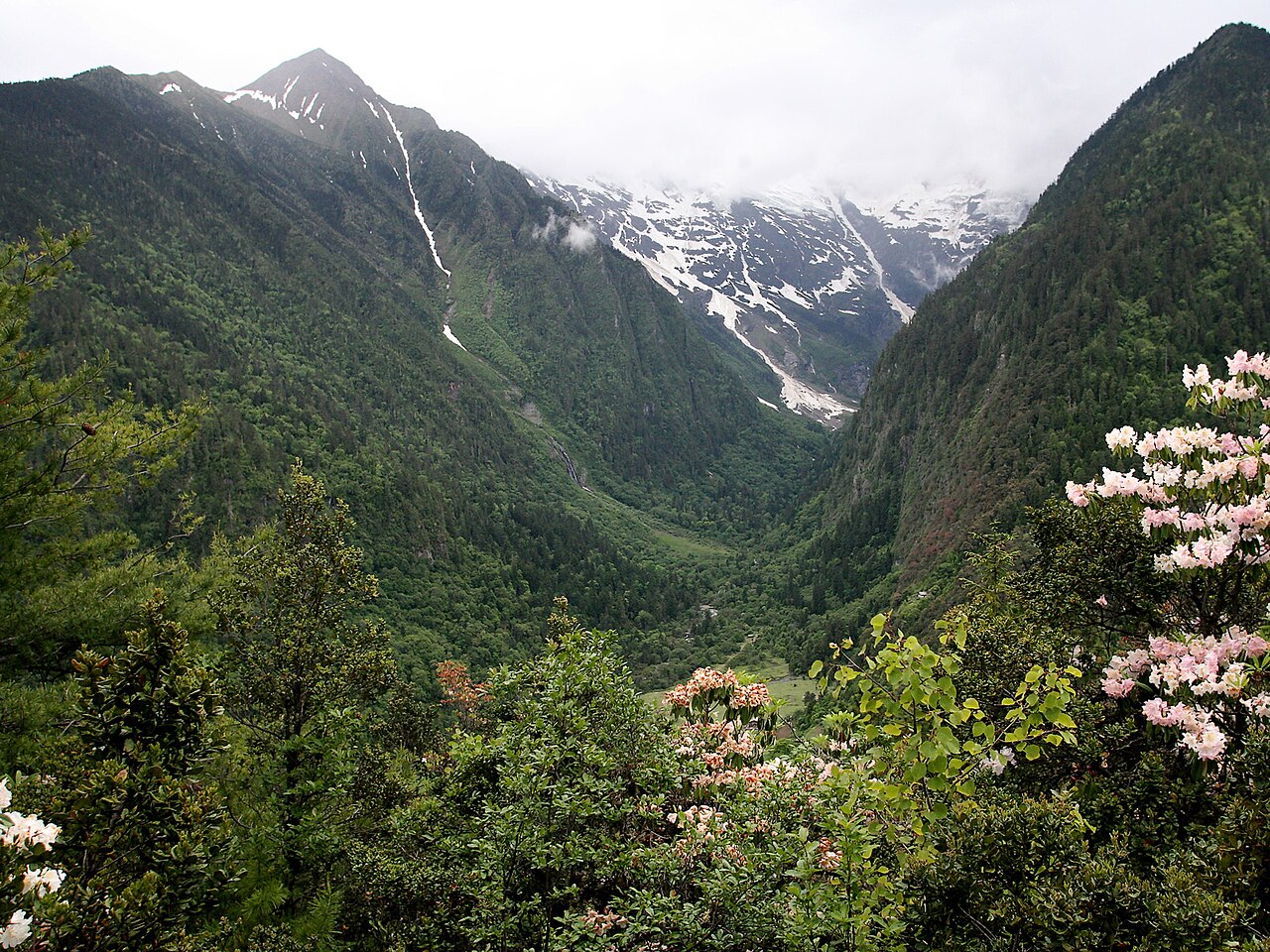
The practical geography: the Feilai temple viewpoint across the Lancang valley holds the classic dawn panorama; the Yubeng village sits in the range's inner valley, reached on foot over a 3,700-metre pass, with walks to the holy waterfall and the glacier lake; and the Mingyong glacier descends the range's lower tongue, reachable by a village path. Most journeys combine all three — dawn views from outside, then in, on the pilgrim's own scale.
Five ways to meet the mountain.
The viewing terrace above the Lancang — the thirteen peaks catching first light while the valley holds its fog. The overland journey books two mornings; the mountain usually pays one.
The village with no road: over the pass on foot or by horse, then guesthouse nights under the ice wall, with the waterfall and lake walks from the door.
The 4-hour return to the Yubeng waterfall through old forest and mani-stone slopes — the pilgrims' own path, walked clockwise.
The Ice Lake below the glacier snout — a longer day, real altitude, and the closest legal approach to the ice wall.
The range's most accessible glacier — a village path to the tongue's snout, the lowest glacier in China at this latitude.
The outer kora around the range takes weeks; the village sections are walkable in a day and explain what the mountain means to the people below it.
The details that make the range work.
Kawagebo is unclimbed by settled agreement and closed to mountaineering — journeys here are walking journeys. Circumambulate clockwise, greet pilgrims, keep the flags and mani stones untouched.
The pass crossing is 3–4 hours on foot or horseback; luggage rides, guests walk. Village guesthouses are simple and warm — book ahead in the clear season.
Deqin sits at 3,400 m and the Yubeng pass at 3,700 m — arrive acclimatised (the overland's Lijiang → gorge → Shangri-La line exists for exactly this) and take the village days at pilgrim pace.
Winter storms cycle along the ridge; the dawns between are the prize. Two dawn attempts are the minimum honesty — see the season board for how the window works.
The Deqin highway is spectacular and exposed in equal measure. Daylight-only driving, experienced drivers, and no promises the weather has not confirmed.
Tell us your walking appetite — viewpoint, village or full kora sections — and we will build the line the mountain's weather can actually pay.
Start my journey brief ↗