Under 500 m
The lowest farmland in the province, on the Han River around Hanzhong: rice, citrus, tea and the crested ibis. Warm, wet, and the only subtropical corner of Shaanxi.
 Start your enquiry
Destinations / Shaanxi / Altitude
From 168.6 metres where the Han River leaves the province to 3,771.2 on the roof of the Qinling: three vertical bands, one of them high enough to feel, and almost nothing in between.
Explore the guide ↓Northwest China · 168.6 m to 3,771.2 m
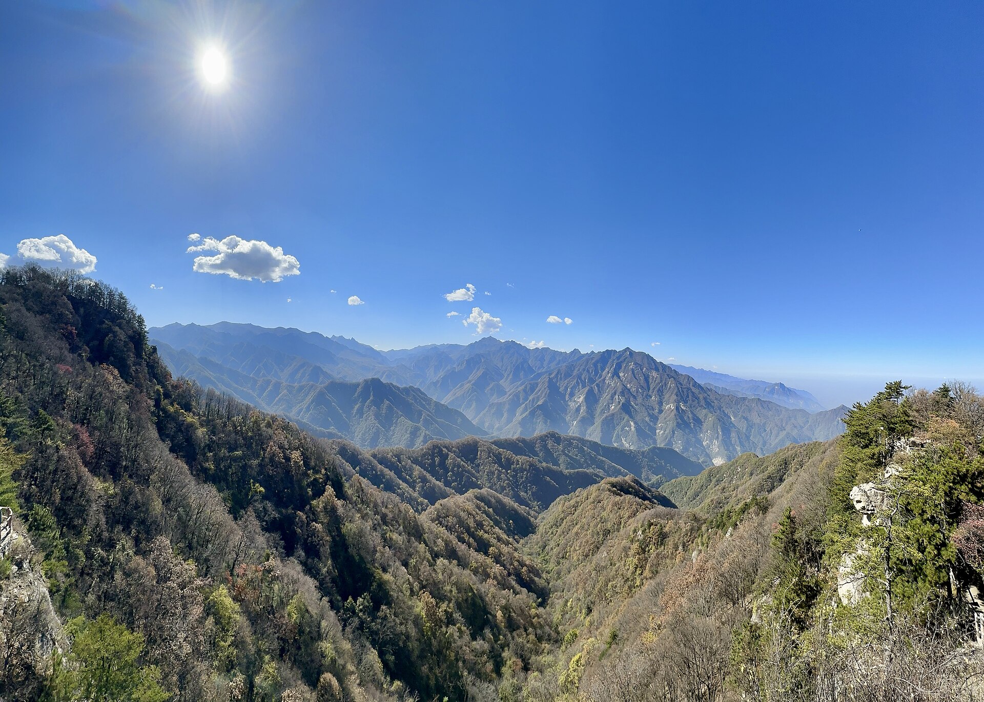
Shaanxi’s relief is unusually simple for its size. The north is a plateau at 900 to 1,900 metres, the middle is a plain at 460 to 850, and the south is mountain and basin between 1,000 and 3,000, with one peak above 3,700. The three belts are also the three climates, so altitude here is not just a number on a walk: it decides what grows, what is farmed, and how cold the night is.
The extremes are worth knowing because they set the range of a trip. The lowest point is on the Han River at the Hubei border in Baihe county, 168.6 metres. The highest is Baxiantai on Taibai Shan, 3,771.2 metres — the highest ground in eastern China, and high enough that the last glaciation left lakes and moraine on its shoulders.
What each level looks like and who lives there.
The lowest farmland in the province, on the Han River around Hanzhong: rice, citrus, tea and the crested ibis. Warm, wet, and the only subtropical corner of Shaanxi.
The “eight hundred li of Qin”: wheat, maize, cities and the whole imperial archaeology of the province. Xi’an sits at about 400 metres.
Ridges, gullies, terrace fields and cave houses, with Yan’an at about 1,000 metres. Semi-arid, and cold in winter.
Forest, river gorges and the plank roads, with the nature reserves and most of the province’s remaining wildlife.
Alpine meadow, rock and glacial lakes between 3,500 and 3,600 metres, with the summit at 3,771.2. Above the treeline and exposed.
Not the highest point in the province, but the steepest: 1,750 metres of stone stairs from the valley floor, with the summit on a single block of granite.
The three places where altitude matters.
3,771.2 metres. The cable car tops out at 3,511 and the last 260 metres are on foot. Mild altitude effects are normal; the weather is the bigger problem.
Four days between 2,500 and 3,400 metres, hut to hut, with no road and no signal. Fitness matters more than acclimatisation, but sleep at 3,000 is not restful.
2,154.9 metres, reached from a valley at 400. No altitude issue at all — the 1,750 metres of ascent is the whole difficulty, and it is all stairs.
How to plan around the numbers.
No itinerary in Shaanxi requires a rest day for altitude. Taibai is a day trip to 3,500 metres, which is a headache for some people and nothing for most.
Huashan and the Qinling are vertical. The descents are the part that hurts, and the stairways are polished and uneven.
Roughly 6 degrees per 1,000 metres. Xi’an at 35 in July is 23 on the Huashan summit and 15 on Taibai, before wind.
From November the 2,500-metre line is under snow, which closes the Qinling high route and ices the north faces at Huashan until March.
The province runs from sea level plus a bit to 3,771 metres, but only one route goes high enough to notice. Everything else is a question of stairs, not oxygen.
Start my journey brief ↗