0 – 50 m
Wheat, maize, cities and the whole imperial road system of the province, from Zhengding to Baoding. Flat, hot in summer, hazy in winter.
 Start your enquiry
Destinations / Hebei / Altitude
From sea level on the Bohai to 2,882 metres on the East Peak of Xiaowutai: a staircase in three steps, with almost nothing between 1,500 and 2,000 except the mountains themselves.
Explore the guide ↓North China · 0 m to 2,882 m
Hebei’s relief is a staircase from the Mongolian plateau down to the Bohai. The Bashang sits at 1,200 to 1,500 metres; the Yanshan and Taihang rise to 2,000 and above, with ten summits over that line and the highest at 2,882; the plain falls below 50 metres and runs flat to a coast at sea level.
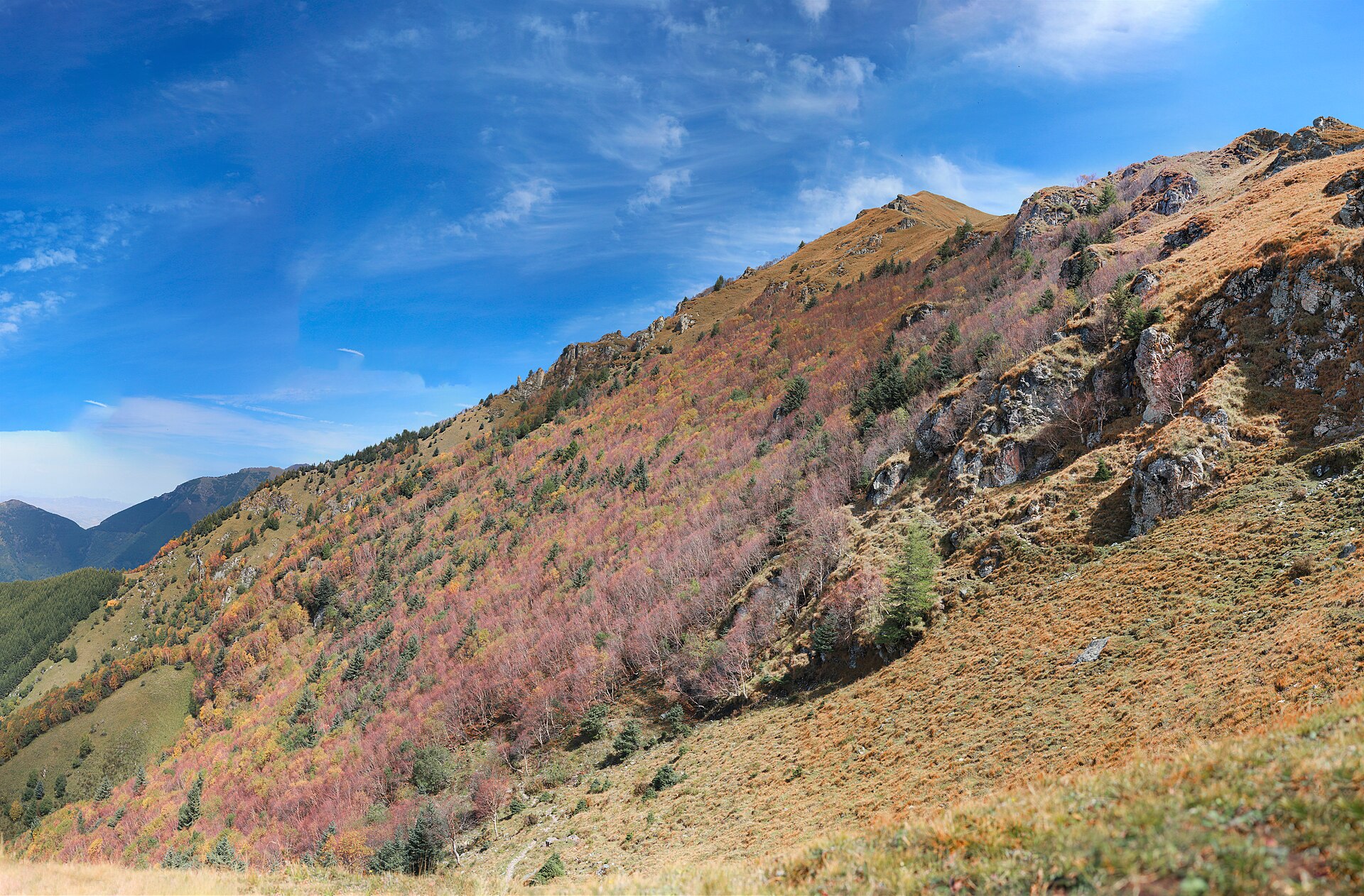
The extremes are worth knowing because they set the range of a trip. The lowest point is the Bohai shore at zero. The highest is the East Peak of Xiaowutai at 2,882 metres — the highest ground between Beijing and the Yellow River, and high enough to carry alpine meadow and a June flower season a month behind the plain.
What each level looks like and who lives there.
Wheat, maize, cities and the whole imperial road system of the province, from Zhengding to Baoding. Flat, hot in summer, hazy in winter.
487 kilometres of Bohai shoreline: sand at Changli and Beidaihe, mud and salt marsh at Huanghua, and the wall walking into the sea at Shanhaiguan.
The Taihang and Yanshan foothills, with the temples, the wall approaches and the villages. Chengde sits at about 350 metres, Baishi Shan’s gate at 1,100.
The southern edge of the Mongolian plateau: grassland, birch scrub, the Saihanba forest, and a frost-free season of about 100 days.
Larch, birch and pine on the Yanshan and Taihang, with the wall running along the ridges and the ski areas of Chongli between 1,500 and 2,100.
Meadow, juniper and rock above the treeline, on Xiaowutai and a handful of Taihang summits. The East Peak at 2,882 is the roof.
The three places where altitude matters.
2,882 metres, and 1,780 metres of ascent from the trailhead in a single day. Mild altitude effects are normal at the summit; the weather is the bigger problem.
2,096 metres, with a cable car to about 1,900 and walkways at 1,600 and 1,900. No altitude issue, but the exposure on the glass is real.
600 to 900 metres along the ridge, which is low enough that altitude never matters and high enough that the wind and the stairs do.
How to plan around the numbers.
No itinerary in Hebei requires a rest day for altitude. Xiaowutai is a two-day climb to 2,882 metres, which is a headache for some people and nothing for most.
The wall, Baishi Shan and Xiaowutai are all vertical in parts. The descents are what hurt, and the stone stairs are polished and uneven.
About 6 degrees per 1,000 metres. Shijiazhuang at 35 in July is 26 on the Bashang and 20 on the Xiaowutai ridge, before wind.
From November the 1,500-metre line is under snow, which closes the Bashang tracks and the Xiaowutai high route until April, and ices the wall’s north faces.
The province runs from sea level to 2,882 metres, but only one route goes high enough to notice. Everything else is a question of stairs, wind and how far the day is.
Start my journey brief ↗