
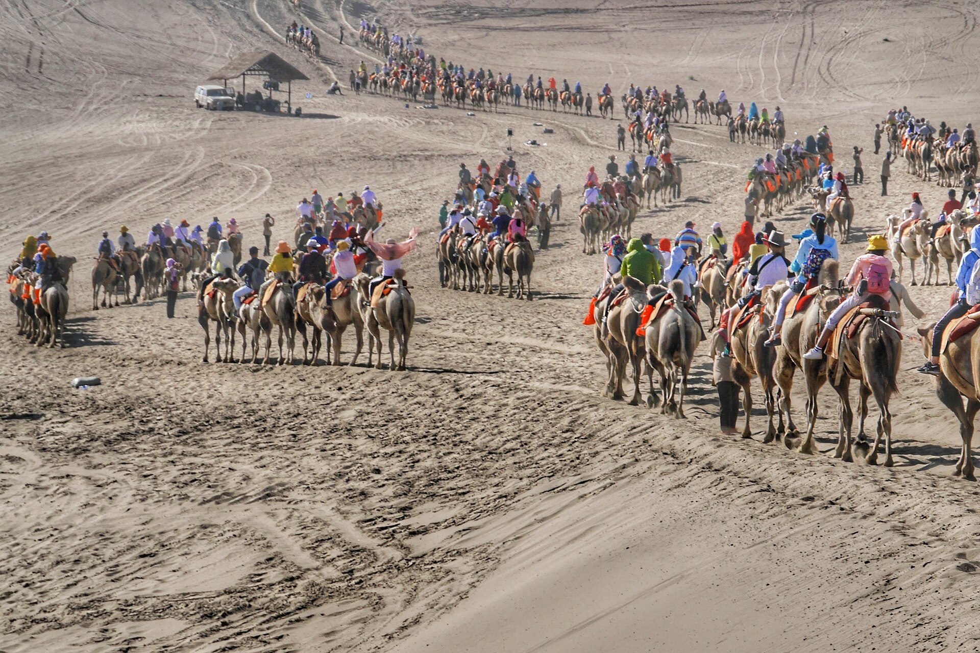
Ask for the silk road on a map and you will be shown a bold line from Xi’an to Rome. No such line ever existed. What existed was a shifting web of routes — steppe corridors north of the Tianshan, oasis chains south of the Taklamakan, high paths over the Pamirs — stitched together by market towns whose fortunes rose and fell with the politics of the century.
A name from 1877
The term Seidenstraße was coined by the German geographer Ferdinand von Richthofen in 1877, long after the traffic stopped. The travellers of the Han and Tang dynasties had no such concept: they knew the road to Dunhuang, the road to Kucha, the passes to Samarkand. The romantic singular is a modern convenience — useful, as long as you remember it is a shorthand for a network.
How the relay worked
Almost no goods moved end to end. A bolt of silk leaving Chang’an might change hands a dozen times — at the garrison markets of the Hexi corridor, in the bazaars of Kucha and Samarkand, in the warehouses of Merv — before it reached a Mediterranean loom. Each oasis state taxed, warehoused and re-sold. What travelled the full distance was rarely cargo; it was technology, faith and disease. Buddhism went the whole way, one monastery at a time. Paper went the whole way, one battle and one captured craftsman at a time.
What actually moved
Silk was only one commodity and, for much of the period, not the most important. Horses went east — the Ferghana breed the Han court called heavenly. Glass went east from Rome and Persia. Paper, peaches, apricots and the stirrup went west. Sogdian merchants, from the towns around Samarkand, ran so much of the mid-route trade that their language became the lingua franca of the caravan towns: letters found in a Dunhuang watchtower are Sogdian, written by traders to each other, complaining about prices and husbands.
Tracing it today
The honest way to travel the silk road is to follow one segment properly rather than the fantasy line end to end. Our Hexi corridor journey walks the eastern segment — garrison towns, the Jiayuguan fort, the Mogao caves — where the network met China. The Xinjiang oases journey follows the relay towns of the Tarim rim, where the murals at Kizil show the network’s multicultural middle. And the Gansu guide covers the practicalities of the region where the two worlds hinged. Stand in one oasis and understand its water, and you have understood the whole road better than any map can show.
Where this leads
The Hexi corridor journey
The Xinjiang oases journey
Gansu & Dunhuang guide