Tiger Leaping Gorge
The high trail above the Jinsha: the deepest-walked canyon argument in China, two days on a farmer's ledge.
 Start your enquiry
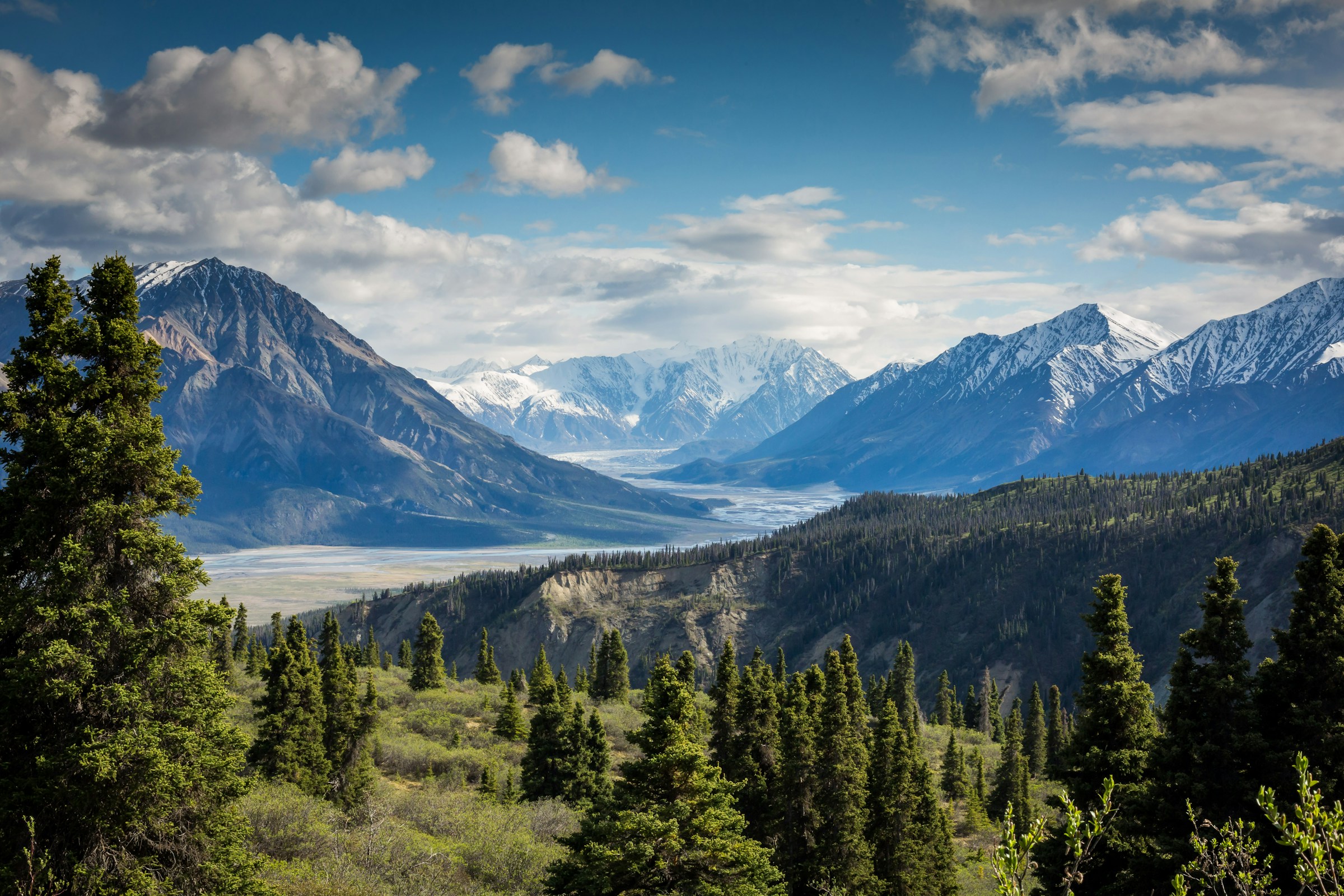
Trekking / NW Yunnan · Regional hub
Three great rivers cutting three great ranges within seventy kilometres of each other — the Three Parallel Rivers country, where Tiger Leaping Gorge, the Meili snow mountains and the old tea trails make China's most complete walking province.
Start this route briefYunnan · The Three Parallel Rivers high country
the Three Parallel Rivers of Yunnan Protected Areas inscribed by UNESCO — eighteen protected areas strung along the Jinsha, Lancang and Nu rivers
the Jinsha (Yangtze), the Lancang (Mekong) and the Nu (Salween) run parallel through the region, sawing ranges that top 6,000 metres
Kawa Garpo of the Meili range — never climbed, the region's sacred roof, and the magnet for every trail in the county
of tea-and-horse country: the Chama gudao caravan routes that made these valleys, and whose stone paths still link the villages
Northwest Yunnan is where the Hengduan's great geography becomes intimate: three of Asia's great rivers running parallel through a single prefecture, snow mountains standing over subtropical gorges, and a network of caravan paths — the tea and horse roads — stitching it all together. UNESCO inscribed the region's protected areas in 2003; walkers had discovered it centuries earlier.
The walking splits into three families. The gorge walks — Tiger Leaping Gorge above all, with its high trail — need nothing but legs and two days. The sacred-mountain walks centre on Meili and the Yubeng valley beneath it, pilgrimage country that happens to be spectacular. And the village walks follow the old caravan trails through Shaxi, Shibaoshan and the wine country of Cizhong, where the trails are history you can still put a boot on.
The province rewards combinations: Lijiang and Dali are the cultural anchors, the gorge and the Meili country are the physical ones, and the roads between them are short enough that a fortnight carries the whole argument. This hub maps it; the individual guides carry the detail.
A province of three families: gorge, sacred mountain and caravan trail.
The high trail above the Jinsha: the deepest-walked canyon argument in China, two days on a farmer's ledge.
The unclimbed Kawa Garpo and the village below it: waterfall koras, an Ice Lake and the Ninong gorge exit.
Shaxi's market square, the Shibaoshan grottoes, the Sideng lane — the tea-and-horse roads where the caravans rest.
French missionary vines, Catholic-and-Tibetan villages and the Lancang gorge — the region's quietest, strangest valley walk.
The 5,396-metre snow mountain next to the gorge — the region's climb, and its bridge to the Shangri-La plateau.
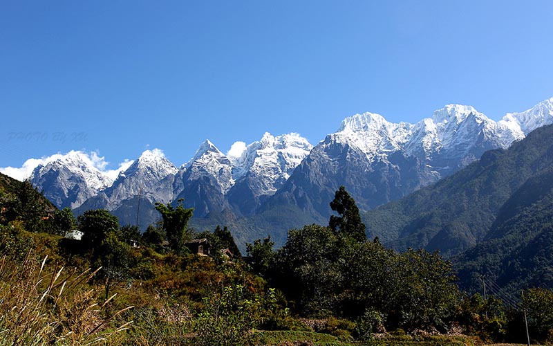
The old Naxi capital and the arrival city for most itineraries: the gorge trailheads are two hours south, Shaxi and the caravan country three hours west.
Tiger Leaping Gorge and Haba: the great gorge walk, the snow climb beside it, and the road up to Shangri-La on the plateau above.
The Meili road: Feilai Temple's viewpoint, the Yubeng trailheads, Cizhong's vineyards — the corridor of the sacred mountain.
The region's roads make a natural fortnight loop: Lijiang, gorge, Shangri-La, Feilai, Yubeng, out via Weixi or back through Shaxi to Dali.
NW Yunnan is the rare great trekking region that is genuinely multi-season: spring walks the caravan country in blossom, early summer has the gorge at its greenest, autumn is the Meili window — the mountain shows itself most honestly in October and November — and winter is colder and clearer than most travellers expect.
Altitude is a ladder, and the province climbs it well: Lijiang at 2,400 metres is a gentle start, the gorge's ledges and Shaxi's valley keep the body honest, and by the time an itinerary reaches the Yubeng village at 3,200 metres the acclimatisation is mostly done. That ladder is the reason the classic fortnight runs east to west.
And leave room for the towns. Dali, Lijiang and Shaxi are not filler between trails; the old towns are the caravan network's living termini, and the trip that treats them as such — resting, eating, watching — is the one that understands the region.
Fly or rail into Lijiang or Dali; both serve the whole province with short road links.
October–November for Meili, April–June for the gorge and the caravan country; the horse year makes every Meili window busy.
The ladder runs 2,400 to 3,900 metres — itineraries that climb it in order rarely have altitude trouble.
The gorge and the caravan trails are teahouse country; Yubeng needs reserved farmhouse beds, which we arrange.
The province supplies the rest.
Walk any stone path in NW Yunnan and you are walking a trade route. The tea came up from Pu'er and Menghai, the horses came down from the Tibetan plateau, and for a thousand years the middlemen were the caravans — mule trains whose routes are today's trails, whose rest towns are today's old quarters, and whose economics built Shaxi's market square and every flagged lane the region walks on.
That is the region's identity: not wilderness, but working landscape — gorges that carry roads and ledges, mountains that carry pilgrimage, valleys that carry vineyards planted by French missionaries in the 1860s and farmed by Tibetan Catholic families ever since. The walking is never empty; it is inhabited, and better for it.
Come for the gorge, stay for the mountain, and leave understanding the trails: this is China's most complete walking province because every kind of path — trade, pilgrimage, farm, gorge ledge — runs through one small, vertical, three-river country.
Three rivers, one province, and every stone path a caravan once knew.
Tell us your weeks and tastes — gorge, mountain, caravan or all three — and we will build the itinerary that links them, with the beds reserved and the altitude ladder climbed in the right order.
The gorge guide · The high trail, day by day · The Yubeng guide · The Yubeng loop, day by day · The Meili guide
Start a route brief