The great bend
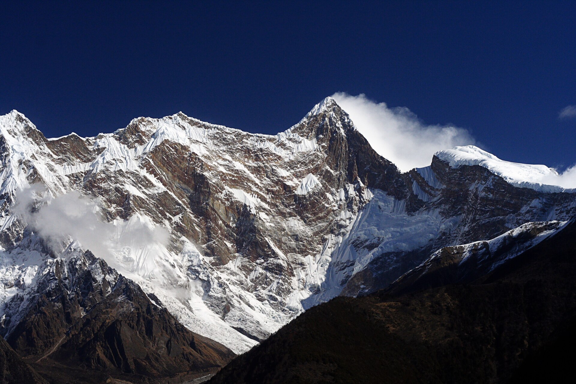
The Yarlung Tsangpo wraps around Namcha Barwa's massif in a horseshoe canyon deeper than any other on earth — from the rim, the river is a sound below the forest.
 Start your enquiry
Trekking / Medog
Below the great bend of the Yarlung Tsangpo, the land falls almost seven vertical kilometres from Namcha Barwa's summit into monsoon rainforest — a Tibetan county that was an island until 2013.
Start this route briefTibet · Medog County, Nyingchi
Nyingchi — the county holding the lower gorge of the Yarlung Tsangpo below the great bend
from Namcha Barwa at 7,782 m down to the river lowlands near 800 m
the Yarlung Tsangpo Grand Canyon — the deepest on earth, nine vertical natural belts along its walls
the Galongla tunnel finally ended Medog's isolation — China's last county connected by road
Medog means the hidden lotus — in Tibetan tradition one of the blessed hidden lands, a valley promised as refuge. The geography earned the name: the county sits inside the greatest bend of the Yarlung Tsangpo, walled off by 5,000-metre ridges, and the monsoon the canyon funnels inland drops more than two metres of rain a year. Tropical forest grows a few hundred kilometres from glaciers.
That same geography kept Medog unroaded into this century. Supplies went in by foot trail over a 4,200-m pass and by cable across the river; the county was the last in China without a road. The tunnel through Galongla opened in 2010, the full road in 2013, and the journey that once took a week of walking now takes an afternoon — weather willing.
Four facts that make Medog unlike anywhere else in China.
The Yarlung Tsangpo wraps around Namcha Barwa's massif in a horseshoe canyon deeper than any other on earth — from the rim, the river is a sound below the forest.
Alpine ice to tropical monsoon forest in a few hours of descent. Botanically, Medog holds a third of Tibet's higher plants in one county.
The canyon is the monsoon's corridor into Tibet; annual rainfall tops 2,300 mm, which makes the trails waterfalls for half the year.
The Galongla tunnel and the rebuilt highway ended a half-century of attempts. Medog became reachable — not tamed.
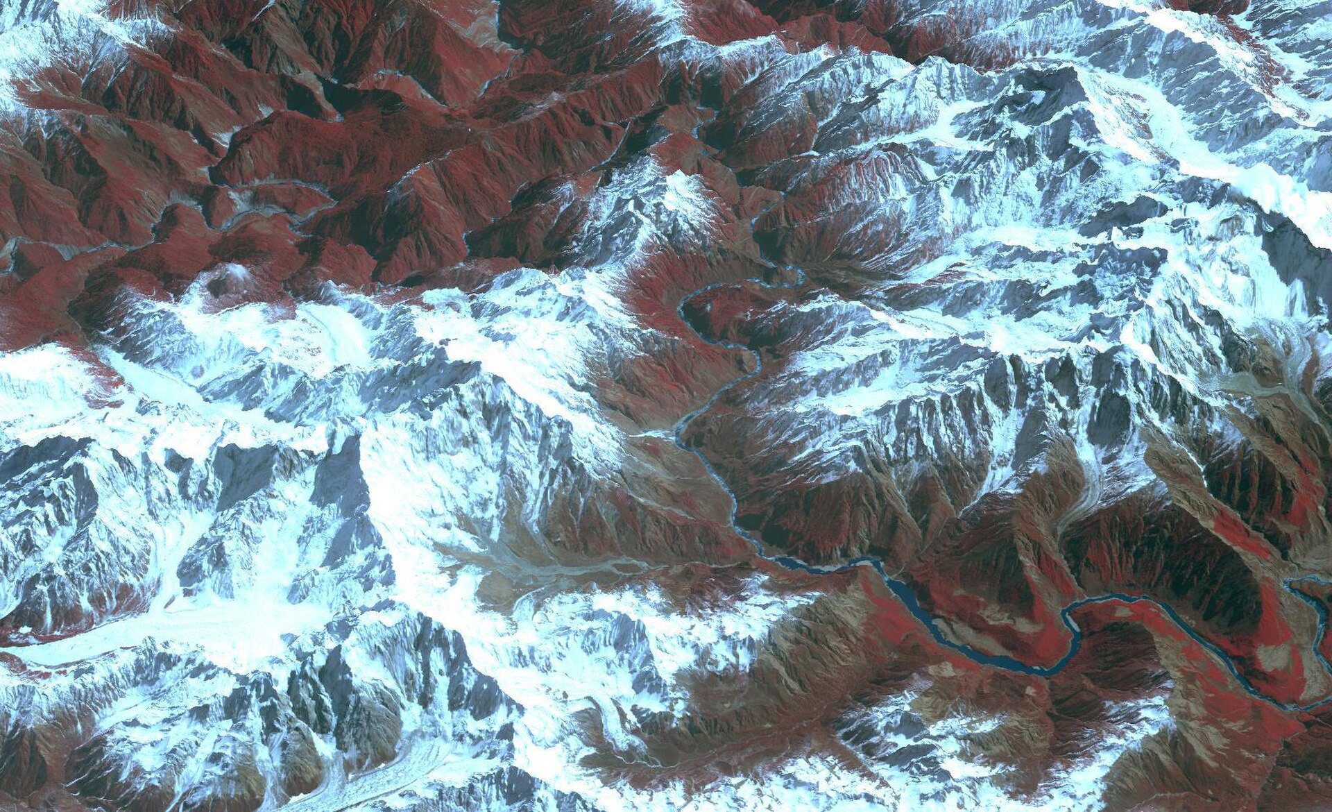
The modern entry: a flight to Nyingchi and the gorge highway to Pai town, under the north face of Namcha Barwa.
The historic route crosses the Duoxiong La at 4,200 m and descends through rain belt to Hanmi and Beibeng — leech forest, hot springs and suspension bridges. Walkable only in the dry window.
By vehicle the route crosses Galongla tunnel into the valley, dropping through cloud forest to the county town.
Guoguotang bend near town, and the view platforms of the great bend to the north — the canyon's geometry is the attraction.
Monpa and Lhoba settlements, bananas and millet, hand-woven backstrap looms — a Tibet that looks nothing like the postcards.
Medog sits in a sensitive border zone. Foreign travellers need Tibet travel arrangements made well ahead — the standard Tibet permits plus local border procedures — and access can close without notice around sensitive periods. We do not sell this as a guaranteed itinerary; we sell it as a plan with a Plan B.
Season is decisive. The dry window runs roughly October to May; the classic walking season is October–November after the monsoon, when the passes hold and the leeches are done. In the rains, the road itself becomes the adventure it was famous for.
Accommodation is county-town hotels and village guesthouses — basic and improving yearly. Bring cash, patience, and a taste for the edge of the map.
Tibet arrangements plus border-zone registration, started weeks ahead. Some windows simply close — build flexibility into the calendar.
October–November is the reliable season. Outside it, rain rewrites every plan.
The forest belt between Hanmi and Beibeng is famous for them. Salt, gaiters, and a sense of humour.
Landslides cut the highway every year. Days of slack are not padding; they are the design.
Rainforest, bananas and rope bridges — the county rewrites what 'Tibet' looks like.
Medog pairs with Namcha Barwa viewpoints, Lulang and the Nyingchi circuit for a complete southeast-Tibet journey.
Rain, heat and altitude in one county — the kit list has to believe all three.
Places become accessible and lose their story; Medog became accessible and kept it, because the story was never just isolation — it was the canyon, the rain and the bend of a great river around a great peak. The road only changed how you arrive.
Stand at the rim of the great bend with the river thundering two kilometres below and the monsoon cloud pouring over Namcha Barwa, and the hidden lotus does not feel opened. It feels revealed.
The last county to get a road — and still the hardest one to deserve.
Medog runs as a fully custom, permit-led journey in the dry window. Tell us your dates; we will tell you honestly whether they work.
Tibet permits and paperwork · Where the road ends: the field report · Kailash: the other Tibet journey
Start a route brief