
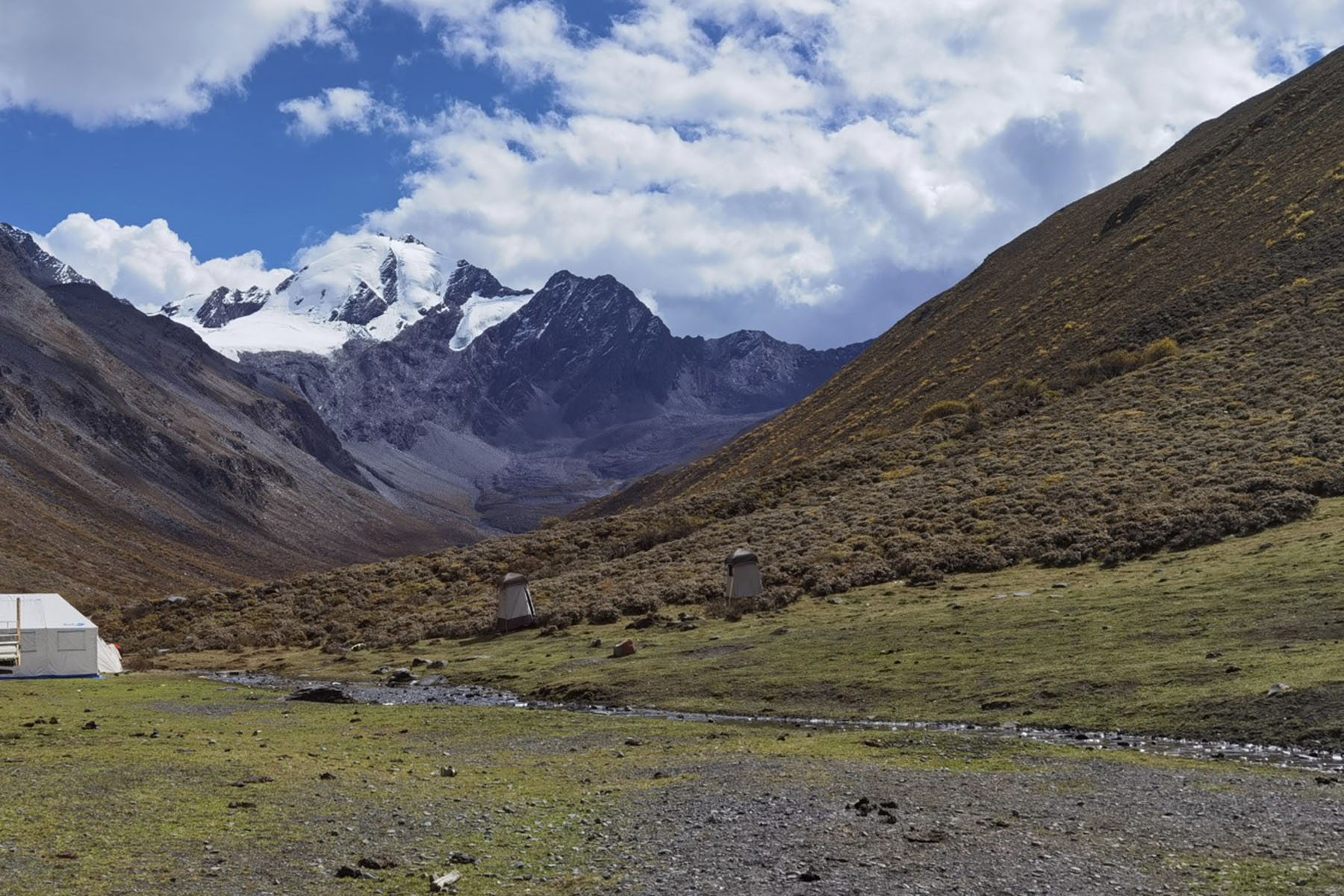
Chengdu, the launchpad.
Every one of our seven climbing routes begins and ends in Chengdu — the front door to the western mountains, covered in its own guide (Chengdu is the front door). From the city the drives run west into the ranges, and each trip really begins at the point the road gives up. Seven routes, seven road ends, and they are not remotely equivalent: the highest sits at 4,200 metres and the lowest at 1,500, and that difference alone explains why one trip is five days and another two weeks.
Seven road ends.
| Route | Road end | The last stretch |
|---|---|---|
| Erfeng | Rilong, 3,100 m | A mountain-road hotel town; the valley camps above are moved by pack animals |
| Yamu | ~4,200 m | The road climbs past Xinduqiao (3,400 m hotel) and Tagong (3,800 m hotel) to its end — in good snow conditions higher still — and the snowline is only about five kilometres away |
| Wukuchu | 4,300 m | Village at 3,700 m, then off-road to base camp itself |
| Nama | Tsemed, 3,400 m | The walk-in passes the monastery at 3,750 m on its way to base camp at 4,100 m |
| Reddomain | Laoyulin, 3,100 m | The walk-in climbs the Gyazela valley under the walls of the Minya Konka massif |
| Jinyin | Caoke, 1,500 m | A hot river valley; from here the mountain is earned on foot, all 2,250 metres of it |
| Zhongshan | 2,350 m | The walk-in runs 36 km and the climbing days add 4,500 m of ascent |
The highest road end: Yamu.
Yamu’s road end at around 4,200 metres is the reason the whole expedition fits in five days. The road does the altitude work of the first two nights — the itinerary sleeps at 3,400 and 3,800 metres on the way up it, in hotels — and from the road end the walk to the snowline is about five kilometres. This is the honest trade of the route: less walking, more mountain, and a summit day reached while your legs are still fresh. The flip side is that the road end is high enough that the two hotel acclimatisation nights before it are not optional decoration; the route still sequences the height properly.
The lowest: Caoke at 1,500 metres.
At the other extreme, Jinyin’s road end sits in a hot river valley far below the mountain, and the route is a genuine expedition because of it. From Caoke the walk to base camp at 3,750 metres gains 2,250 metres in one deliberate day — the biggest single jump of any of the seven, examined properly in Acclimatisation is the itinerary. Nothing about a 1,500-metre start is efficiency; it is the price of the approach the mountain allows.
What the walk-in buys.
The mid-length walk-ins — Nama’s 46 kilometres past a monastery, Reddomain’s valley under the massif walls, Zhongshan’s 36 kilometres — are not dead days before the climb. They are the part of the trip where the country is met at walking pace, the camps settle into rhythm, and the body banks its acclimatisation before the rope comes out. If the walking matters to you as much as the summit, several of the trekking routes in the same ranges cover that country without the rope at all — the Gongga alternatives in Gongga, five ways are the closest cousins.
And if you are stitching a climbing route into a longer China journey, the transport between the pieces is covered in the middle of the trip is also the trip.
Start from a road end?
The Yamu expedition: the highest road end
The Jinyin expedition: the valley climb
Chengdu is the front door
The middle of the trip is also the trip