The Gongga massif
The king of Sichuan and its full circuit: passes, glaciers, the Langgam gompa — the Hengduan's definitive trek.
 Start your enquiry
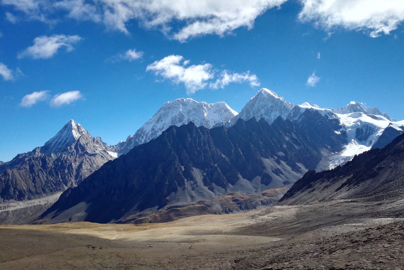
Trekking / The Hengduan ranges · Regional hub
Seven mountain chains and six great rivers, running side by side north to south across western Sichuan — the most compressed great-mountain geography on earth, and China's richest trekking country.
Start this route briefSichuan · The Gongga massif, the Hengduan's highest ground
seven parallel ranges running north to south, turned from the usual east-west grain of China's mountains by the Indian plate's push
great rivers saw the ranges apart — the Dadu, Yalong, Jinsha, Lancang (Mekong), Nu (Salween) and Dulong — some of the deepest gorges on earth between them
Gongga, the king of Sichuan, the highest peak east of the Himalaya and the massif all the others are measured against
from valley floor to 7,000-metre summit in places — subtropical rice country and glacial ice almost within sight of each other
The Tibetan Plateau meets lowland China along the Hengduan, and the meeting is vertical: seven mountain chains, stacked side by side and running north to south, cut apart by six great rivers that have sawn the deepest gorges on the continent. The geography is so abrupt that a single day's walk can cross more climatic bands than most countries own — subtropical valley, pine forest, rhododendron cloud belt, alpine meadow, glacier — which is why the region's biodiversity is world-famous and its trekking is unmatched.
For walkers the Hengduan is a family of distinct great circuits, each with its own character: Gongga, the king, with its monastery approach and glacier valleys; the Siguniang massif, granite spires above the Changping valley; Genie, the quiet 6,204-metre heart of Litang county; and the Yading sanctuaries, three sacred peaks above some of the finest high-meadow country in China.
This hub is the map of that family: what distinguishes the ranges, when each walks best, and how the pieces connect. The individual guides carry the detail.
Each range has its own trek; this is the family portrait.
The king of Sichuan and its full circuit: passes, glaciers, the Langgam gompa — the Hengduan's definitive trek.
Four Sisters, granite and gentian: the valley treks and the big 5,000-metre summits, all road-accessible from Chengdu.
Litang county's quiet giant: the 6,204 m peak, the Genie Eye and trail country without a teahouse in sight.
Three sacred peaks above the Daocheng plateau — the Hengduan's shrine, walked as kora and photographed as paradise.
Where the ranges fall into the Tsangpo gorge: the trade trail into Tibet's rainforest county, reopened as a walk.
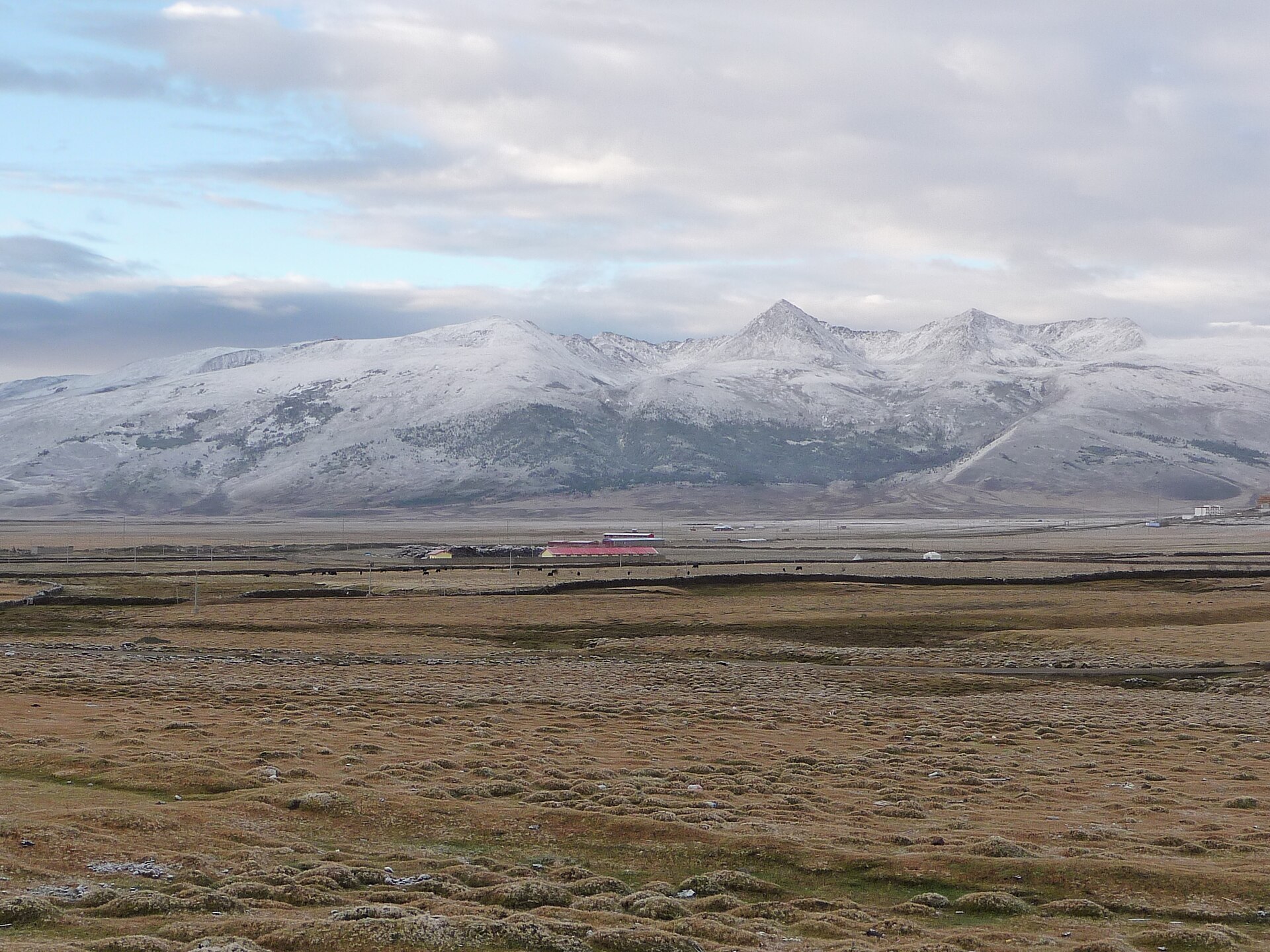
Siguniang, Zhara Lhatso and the peaks above Baoxing: the most accessible ranges, granite and forest, with roadheads two to four hours from Chengdu. The best first Hengduan trek lives here.
Gongga's massif: the highest ground east of the Himalaya, with the great circuit, the Riwoqi passes and the Moxi glacier country. The serious classic.
Genie, the Yading peaks and the Litang plateau: high, dry, grassy country where the treks run long and the teahouses disappear. The wild half.
Where the ranges drop to the Jinsha and the Tsangpo: Motuo, the great gorge country, subtropical and immense. The Hengduan's finale.
Altitude is the Hengduan's constant: most trails live between 3,000 and 4,500 metres, and every circuit should be entered through a staging town — Chengdu for the eastern chains, Kangding for Gongga, Litang for Genie and Yading. The staging nights are not dead time; they are the acclimatisation that makes the treks work.
Season splits the region in half. The eastern and central ranges walk best in the classic windows — May–June for rhododendrons, September–October for clarity. The western plateau country is drier and extends later into autumn, but its passes hold snow to late May.
And think in combinations rather than single treks: the Hengduan's road network means a fortnight can carry two or three circuits — a Siguniang warm-up, the Gongga circuit, the Genie wilds — and that is precisely the trip the region was built for.
Chengdu serves every range; Kangding, Litang and Daocheng are the high staging towns inside.
May–June and September–October are the twin windows; the western ranges extend later into autumn.
Staging nights are mandatory planning, not optional padding — the region starts where other regions end.
The eastern chains have teahouse infrastructure; the western wilds need full expedition support, which we arrange.
The ranges do the rest.
There is a moment on every Hengduan trek when the compression becomes physical: a morning's walk from wheat fields to yak pastures, an afternoon from rhododendron scrub to the first glacier moraine, and the whole biography of a mountain range conducted in a single day.
This is why the region produces the treks it does. The valleys are deep enough to farm and high enough to glaciate; the rivers are close enough together to chain into circuits; and the Tibetan cultures that farmed and prayed their way up these valleys left gompas and tea trails at exactly the altitudes walkers now camp at.
Start with the circuit that matches your legs — Gongga for the full argument, Siguniang for the introduction, Genie for the silence — and the ranges will do what they have always done to walkers: rearrange the sense of how much world a single week can hold.
Seven ranges, six rivers, and a day's walk that crosses more climate than most countries.
Tell us your weeks and your legs, and we will build a Hengduan itinerary that stages, acclimatises and walks — usually one massif circuit plus a lighter valley week, timed to the rhododendrons or the autumn clarity.
The Gongga guide · The Siguniang guide · The Genie guide · The Yading guide · The Motuo trail
Start a route brief