
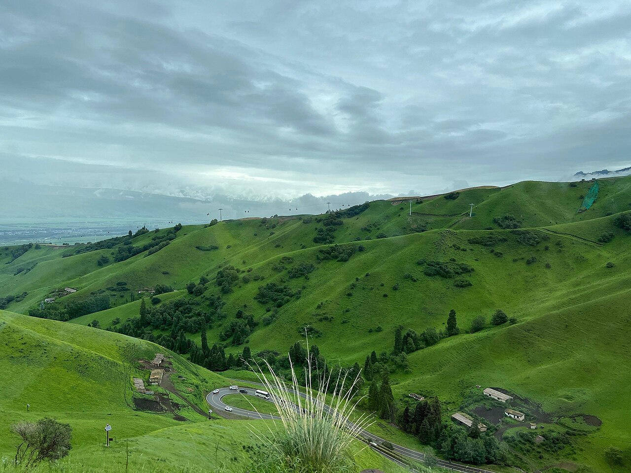
The grasslands south of the Ili river look, at first glance, like empty country — rolling green, herds, and a horizon with nothing on it. Look again at the ridgelines and the emptiness resolves: cairns, wall-footings, the odd square stone platform. This is the karun system, the Qing empire's border-watch network, and its paths are now the best quiet walking in the valley.
What a karun was.
A karun was a border post — a beacon platform, a small garrison, a section of ridgeline to watch. The Qing administration stitched the whole Ili frontier with them in the eighteenth century: post within sight of post, signal by smoke by day and fire by night, a chain of manned points from the lakes to the passes. Some grew into towns; most remained a platform and a few walls, and the dry climate has kept the stonework legible for two centuries.
The line through the passes.
The logic of the line was sight, not convenience — which is why the paths run high. A karun path holds the ridge, drops to water, climbs again; it was built for eyes and horses, and it ignores every modern valley road. Walking a section of it today means grassland ridge-walking with the valley on one side and the range wall on the other, and a stone platform appearing every hour or two exactly where the sight-line says one should be.
What walking them is like.
The walking itself is honest and moderate — the paths were made for post horses, not mountaineers. What makes them special is the texture: wall-footings you can follow, cairns that still stack, the occasional carved stone. Between June and September the grassland is in flower and the passes are clear; between the flowers, the marmots whistle the ridgeline like a watch system of their own.
The herders who use them now.
The paths never stopped working. Kazakh and Kirghiz herders move their summer camps along the same ridgelines the beacons watched, and a walking day on a karun path is punctuated by the real traffic of the grassland: fountains of horses being moved, yurts going up, a family waving you past their pasture fence. The tea stops, unarranged, are the part guests remember longest.
Where to walk them.
The best sections sit in the country between the Kalajun grassland and the Zhaosu basin, and we fold them into our grassland treks as the high line where the low valley offers nothing new. For trekkers who want the history with the walking, the Kalajun route is the one to open: five days of it, ridge and pasture, ending at the gorge where the paths drop to the river and the beacons finally lose sight of each other.
Where this leads
The Kalajun grassland trek
Guide: Yining & the Ili valley
The Kalajun grassland trek