The Kalajun grasslands
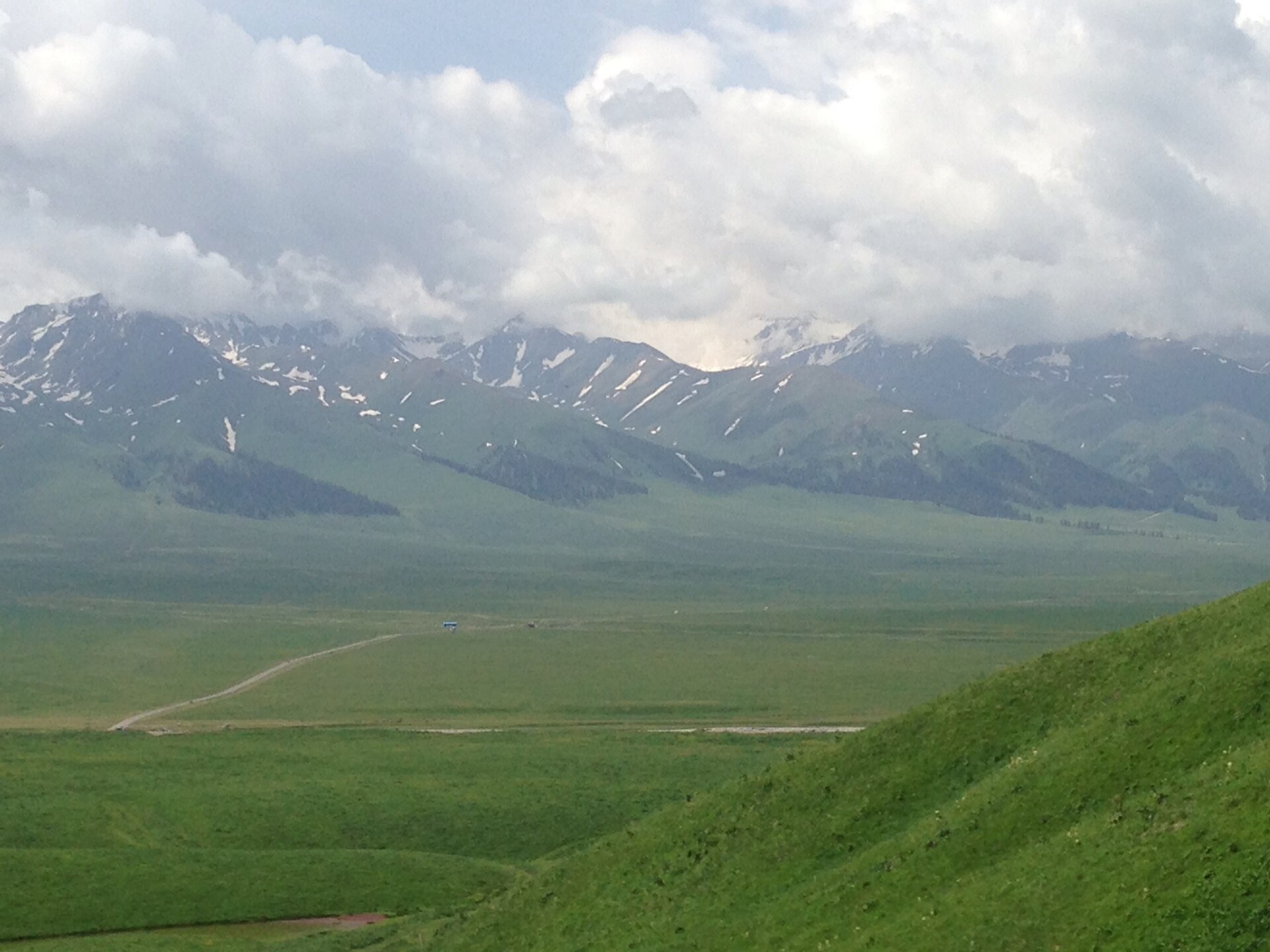
The UNESCO component and the region's signature: layered meadows, Kazakh yurt camps and a high trail linking summer pastures.
 Start your enquiry
Trekking / Tianshan & Ili · Regional hub
The sky mountains and the valley they water: a UNESCO-listed range, a Kazakh horse culture, and the great summer grasslands of Kalajun and Nalati — China's gentlest great trekking country.
Start this route briefXinjiang · The Ili valley grasslands under the Tianshan
of mountains running across Xinjiang into Central Asia — the Tianshan, the sky mountains, the greatest range of the arid world
Xinjiang Tianshan inscribed by UNESCO as natural heritage, citing four components: Tomur, Kalajun–Ku'erdening, Bayanbulak and Bogda
Tomur, the Tianshan's highest summit, on the Kyrgyz border west of the Ili — a true big-mountain wall above the valleys
the west-facing basin the range opens into — green, Kazakh, horse-riding country whose summer pastures are the treks
The Tianshan runs twenty-five hundred kilometres across the belly of Asia, and its Chinese section is the UNESCO half: four protected components inscribed in 2013 as Xinjiang Tianshan, from the Tomur wall in the west to the Bogda peaks east of Urumqi. Between them, the range opens into the Ili valley — a west-facing basin that catches the moisture the deserts miss, and grows the most European-looking landscape in China: rolling grassland, spruce forest, rivers and horses.
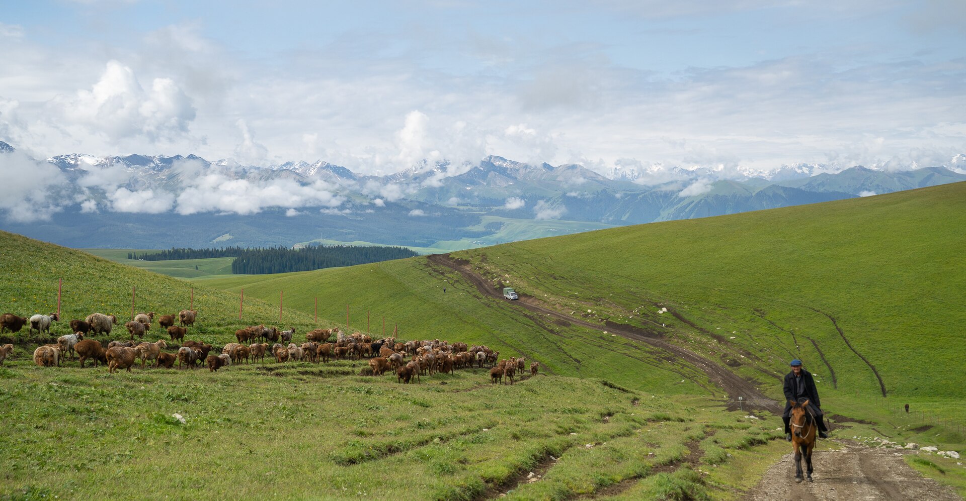
The treks follow the pasture. The Kazakh herders of the Ili move vertically — valley bottoms in spring, the great meadows in summer, the high passes before winter — and their transhumance trails are the region's walking network: the layered grasslands of Kalajun, the bee-farm valleys of Ku'erdening, the river terraces of Nalati, and the old trade passes toward the Kyrgyz border.
This hub maps the region. The individual guides carry the detail; this page explains how the range, the valley and the seasons fit together.
Grassland corridors, spruce valleys and one true big-mountain wall.
The UNESCO component and the region's signature: layered meadows, Kazakh yurt camps and a high trail linking summer pastures.
The valley forests of the UNESCO listing — the densest Schrenk spruce stands on earth, walked by river and ridge.
The classic Ili panorama: a sub-alpine meadow plateau the horses graze, and the valley trails that link its villages.
The eastern component: high flat grassland around a swan lake, with the pass road that links it to the Ili.
The big wall itself: glacier viewpoints and the trekking lines toward the 7,443-metre roof of the range.
The Ili's river city and the arrival point, close to the Kazakh border: from here the grassland treks are two to four hours by road.
Kalajun and Nalati: the summer pasture country, walked as ridge-and-valley circuits between yurt camps and herder trails.
Ku'erdening and the Kuertisi river country: the forested UNESCO component, the region's shade and its river walking.
Bayanbulak and the road country beyond: high flat grassland, the swan reserve, and the passes that link Ili to the north side of the range.
The Tianshan is a summer region: the grassland season runs June to September, the pastures are at their best in July, and the shoulder months of June and September are the quiet ones. Winter is for the ski country, not the trails.
Altitude is gentle by Chinese big-mountain standards — the grassland treks live between 2,000 and 3,000 metres — which is precisely the region's gift: this is the great high-country walking of China without the altitude tax, suitable for families and first-time trekkers who still want world-scale landscapes.
And think of the region as a pairing with its neighbours: the Ili grasslands and the Kanas country to the north are the two halves of a Xinjiang walking fortnight, and the roads between them — over the passes, past Sayram lake — are among the great drives on earth.
Yining serves the Ili by air and by the rail from Urumqi; the grasslands are short road transfers from there.
June to September, with July the greenest and the shoulder months the quietest — a strict summer region.
2,000 to 3,000 metres: the great walk without the altitude tax, and the reason it suits mixed groups.
Kazakh yurt camps and horse culture are the region's fabric — travel with it, eat with it, ride with it.
The horses carry the rest.
There is a week in July when the Kalajun meadows do what no photograph quite manages: the layers of grass go silver and gold in alternating bands, the wildflowers run to the horizon, and the Kazakh horses move through it like punctuation. The herder families are all up by then, the yurts are pitched in the same circles their grandmothers used, and the walking trails are simply the routes everyone's grandmothers walked.
That is the Tianshan's character: this is not conquered wilderness but inhabited landscape, a pasture economy so old and so well-fitted that UNESCO's citation reads like a herder's almanac. The treks follow the transhumance; the camps are yurts; the passes carry names in Kazakh and the trails carry their hoofprints.
Come for the week of July, or June's quiet, or September's gold — and leave understanding that the sky mountains earned their name honestly: from the pastures, on a clear evening, the snow line really does look like the edge of the sky.
The grasslands walk themselves — you just have to keep up with the horses.
Tell us your summer and your group, and we will build the Ili itinerary — yurt camps booked, horses arranged, the grassland week or the full UNESCO line, with Kanas and Sayram folded in if the calendar allows.
The Kalajun guide · The Kanas guide · The Karakoram north · The Badain Jaran desert
Start a route brief