
The silk road was never one road and never one business. What the ground across the plate actually shows — if you read it as infrastructure rather than romance — is an administrative machine: a line of water sources, a line of beacons, a relay post system that moved government mail at speeds no caravan ever matched. The merchants used it all, but they did not build it.
The name is older than the road.
Silk went west for two thousand years; the phrase silk road is a nineteenth-century coinage, from a German geographer writing about trade that had already been dead for centuries. The route it names was, in truth, a bundle of tracks — oasis to oasis along the desert's rim, mountain passes where the politics allowed, and stage distances fixed by what a camel walks in a day and where the water sits. The stage distances are still the map: almost every modern town on the plate inherits a Han-dynasty garrison site.
The beacon lines.
The most visible survivors are the beacons — square earthen towers, ten metres high, standing on the ridges at intervals of a few kilometres. Han-built, Tang-rebuilt, they passed alarms along the desert rim faster than any rider: smoke by day, fire by night, a code system detailed enough that surviving wall-regulations specify the number of smoke columns per message. The line ran from the Hexi corridor all the way to Kashgar, and its towers still stand in the emptiest sections exactly where the sight-lines demanded.
Wells, and who paid for them.
The beacons mark the alarm line; the wells mark the traffic line. Between oases, the route lived or died on water, and the great imperial contribution was maintenance: garrison-dug wells, restored way stations, and a bureaucracy that issued travel documents naming which stages a caravan might use. The paper trail from Turpan's tombs — contracts, complaints, a schoolchild's copybook — shows how ordinary the traffic was: loans, lent camels, lawsuits.
The post outran the merchants.
The fastest thing on the road was not silk. The imperial courier relay moved mounted riders from post to post with fresh horses at each, and in the Tang system an urgent dispatch could cross the plate in days rather than the weeks a caravan needed. The relay stations were the true way stations — walled compounds with a well, a granary and stables, built for government traffic and available to paying merchants. Their ruins, when they survive, are the most evocative buildings on the route: a courtyard, a wellhead, and forty kilometres of nothing in every direction.
What to go and stand in.
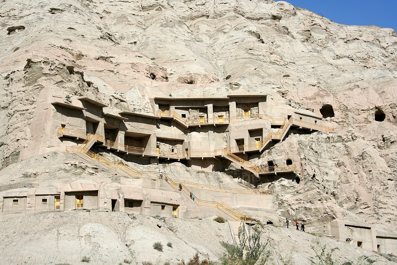
The best standing structures cluster where the water did: Jiaohe and Gaochang near Turpan are the two great ruined cities, walkable at dawn; the Subash temple ruins outside Kuqa show the Buddhist side of the same system; and the beacon lines survive best on the desert rim east of Yumen and in the empty country between Korla and Kashgar, where a tower on a ridge still commands the sight-line it was built for.
Reading the route today.
Our flagship journey runs the plate end to end with this reading in mind — each ruined city paired with the live town that replaced it, each stage driven at caravan distance. The route's real lesson is prosaic and profound: the silk road was a supply chain, maintained for centuries by administration, and what you are walking through in the ruins is not romance. It is logistics, aged into beauty.
Where this leads
The caravan road
The Tarim mummies
The Xinjiang silk road flagship